Cwm Gwrelych 2016
Waterfalls on the geo trail.
This route, constructed in 2010, is promoted by the local council as a heritage trail and geo trail, highlighting the geology of the area. There are numerous information signs and information boxes giving details of the mining history. It sits just outside the Brecon Beacons National Park, very close to the popular waterfall area, and has some impressive waterfalls of its own. (The end of the gallery also skips over the the much better known Four Waterfalls trail in the national park.)
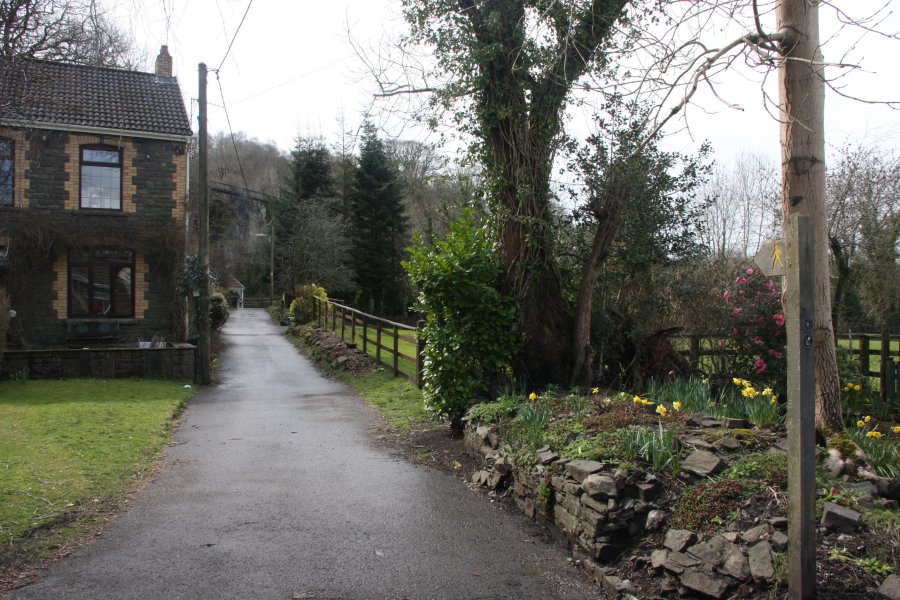
 The path starts in Pont Walby near Pontneddfechan.
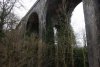 The Pont Walby viaduct over the Gwrelych valley.
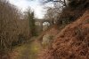 Passing beneath the viaduct, and onto the geo trail.
 Rapids in the river.
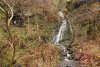 Waterfall and disused coal mine on a tiny tributary stream near the start of the walk.
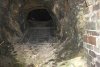 Inside the mine.
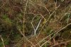 A small waterfall above the mine. There is no path to this, and reaching it required a silly ascent of the steep banks.
 And another one above it.
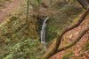 The tallest waterfall in the area, at about 10 metres, high above the mine. There is another little waterfall just above that. This was similarly difficult to reach, and not really worth the effort. This is in high water conditions, and may normally be nothing more than a trickle.
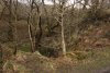 A small pond with a large dam wall. Presumably, this had been used for the mining operations.
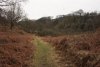 The lower part of Cwm Gwrelych. Although it cannot be seen from here, the far side of the valley is topped with an enormous, active opencast mine.
 Spoil heaps in the valley.
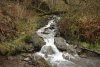 Side stream draining the opencast site.
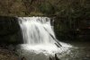 The largest and most impressive of the main Cwm Gwrelych waterfalls, at about 6 metres tall. There is no path to this, but a fenceline dropping down to the head of the waterfall may be followed down to a wooden fence, which can be crossed with care to reach a slope down to the base.
 A step in the river just upstream of the main waterfall.
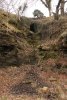 Mine adit just above the waterfall.
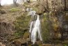 Small waterfalls on an inlet stream just upstream of the waterfall. The main drop is about 3 metres tall.
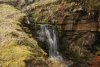 More above.
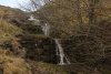 And even more above.
 Sleeper stones belonging to the tramroad that used to run along the valley.
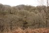 Cwm Ty'rmynydd.
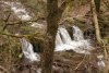 Cascade at the mouth of Cwm Ty'rmynydd.
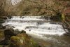 Pretty cascade in the main river.
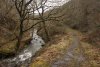 Lower path running next to the river, which gives the best views of most of the waterfalls.
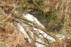 Upper cascade. This may be seen and heard through the trees, and sounds quite impressive, but is in fact just 3 metres tall. Some smaller cascades below it were not significant enough to be worthy of the effort, fighting through the branbles to view them.
 A major waterfall marks the Nant Llyn-fach stream joining the main river. The waterfall is about 5 metres tall.
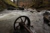 Tram truck wheel in Cwm Ceffyl, the valley containing Nant Llyn-fach.
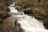 Cascades in Cwm Ceffyl. The enormous (2 metre diameter) tyre shows that this must be just below the opencast site.
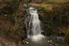 Top waterfall of the Nant Gwrelych river, about 5.5 metres high.
 The top Cwm Gwrelych waterfall and Nant Llyn-fach waterfall sit very close to each other, creating a very nice twin falls effect.
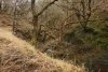 Cwm Gwrelych, upstream of the top waterfall.
 Landslide blocking the track.
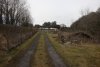 Caravans and farm buildings at Rhigos, at the end of the path.
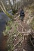 The day before, we had visited the nearby Four Waterfalls trail in order to refine the walking route. Exposed tree roots on an early part of the path.
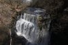 In flood conditions, Sgwd Clun Gwyn looked particularly impressive.
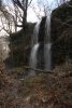 Twin waterfalls falling below the cliff path.
 Single waterfall also below the cliff path.
 The cliff path above Sgwd Isaf Clun Gwyn.
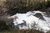 White flood water at Sgwd Isaf Clun Gwyn.
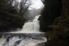 Sgwd Isaf Clun Gwyn in flood.
 Immediately before Sgwd yr Eira, a small stream on the left also provides an opportunity for adventurous walkers to stand behind it. Nobody will notice though, because they are all fixated on the main waterfall.
 The path starts in Pont Walby near Pontneddfechan.
 The Pont Walby viaduct over the Gwrelych valley.
 Passing beneath the viaduct, and onto the geo trail.
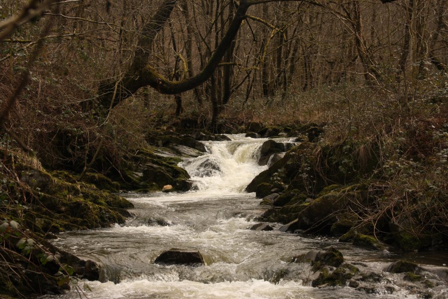 Rapids in the river.
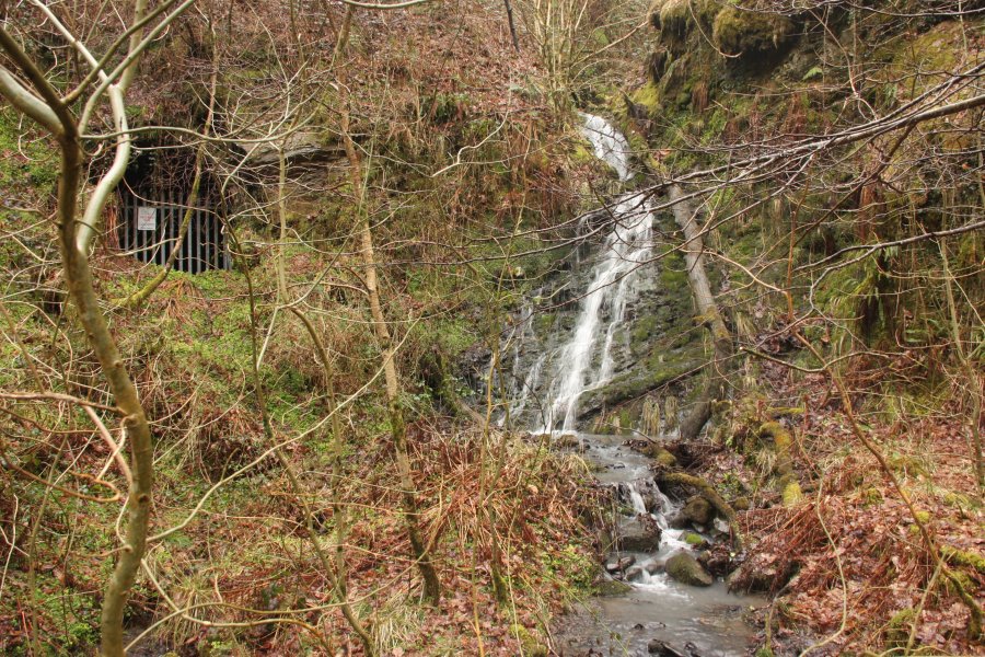 Waterfall and disused coal mine on a tiny tributary stream near the start of the walk.
 Inside the mine.
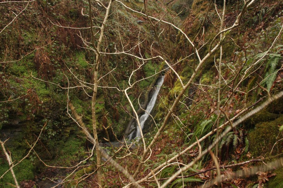 A small waterfall above the mine. There is no path to this, and reaching it required a silly ascent of the steep banks.
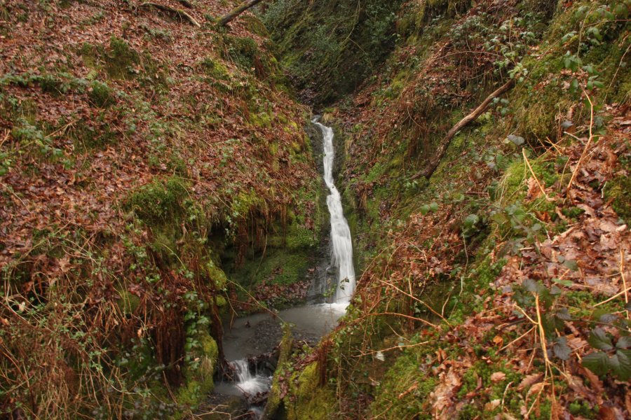 And another one above it.
 The tallest waterfall in the area, at about 10 metres, high above the mine. There is another little waterfall just above that. This was similarly difficult to reach, and not really worth the effort. This is in high water conditions, and may normally be nothing more than a trickle.
 A small pond with a large dam wall. Presumably, this had been used for the mining operations.
 The lower part of Cwm Gwrelych. Although it cannot be seen from here, the far side of the valley is topped with an enormous, active opencast mine.
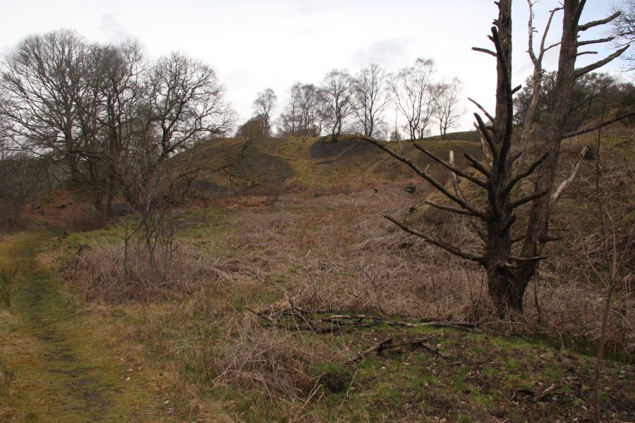 Spoil heaps in the valley.
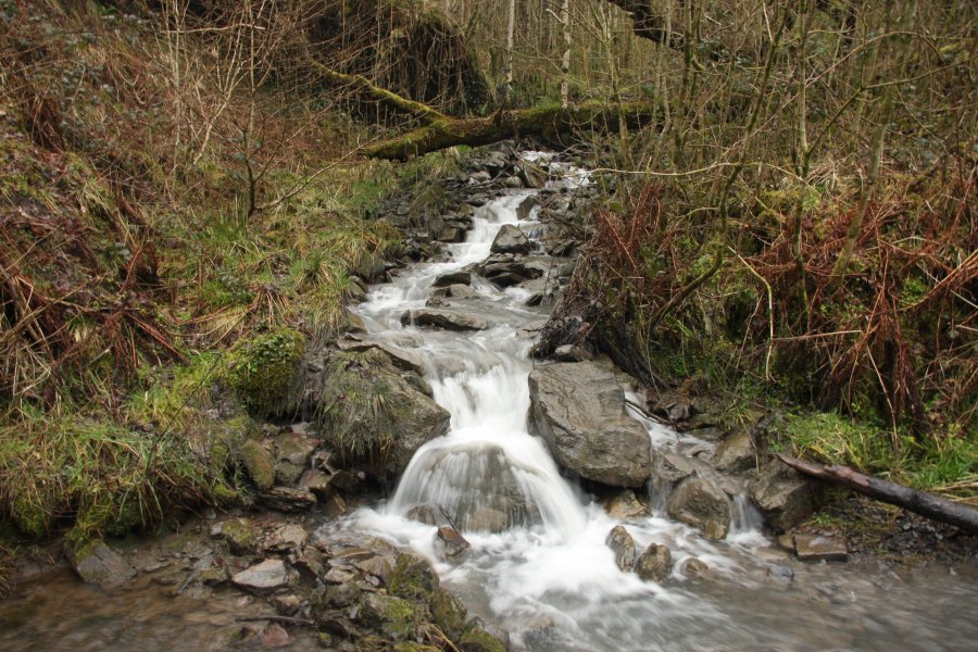 Side stream draining the opencast site.
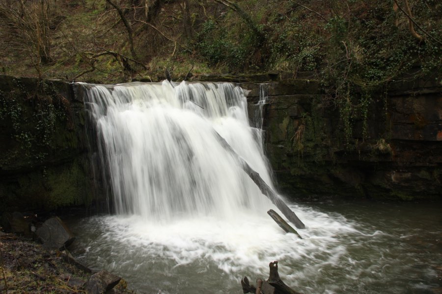 The largest and most impressive of the main Cwm Gwrelych waterfalls, at about 6 metres tall. There is no path to this, but a fenceline dropping down to the head of the waterfall may be followed down to a wooden fence, which can be crossed with care to reach a slope down to the base.
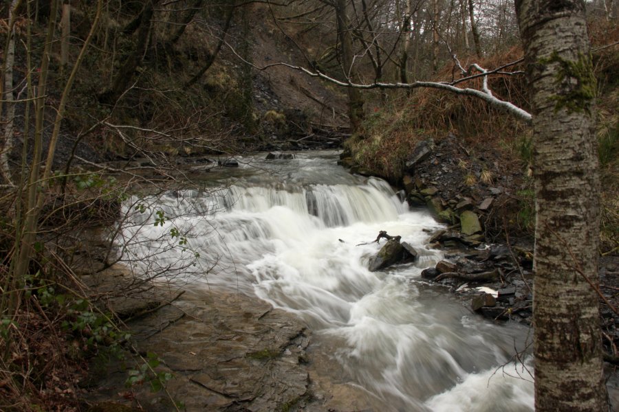 A step in the river just upstream of the main waterfall.
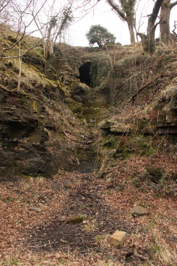 Mine adit just above the waterfall.
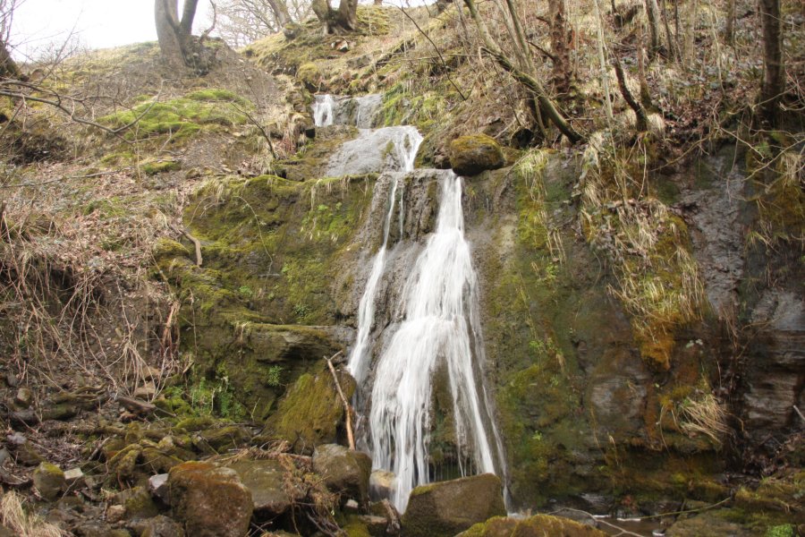 Small waterfalls on an inlet stream just upstream of the waterfall. The main drop is about 3 metres tall.
 More above.
 And even more above.
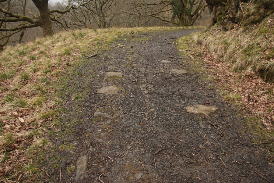 Sleeper stones belonging to the tramroad that used to run along the valley.
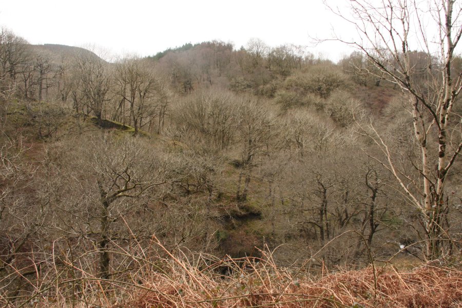 Cwm Ty'rmynydd.
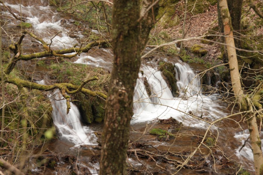 Cascade at the mouth of Cwm Ty'rmynydd.
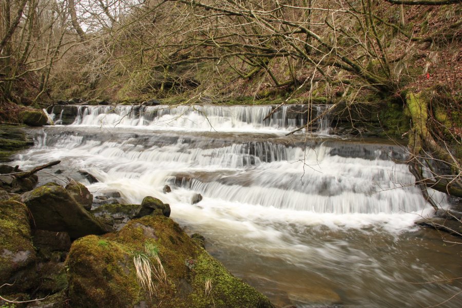 Pretty cascade in the main river.
 Lower path running next to the river, which gives the best views of most of the waterfalls.
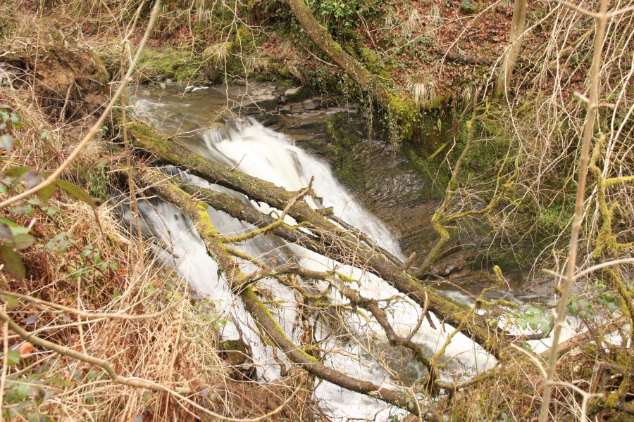 Upper cascade. This may be seen and heard through the trees, and sounds quite impressive, but is in fact just 3 metres tall. Some smaller cascades below it were not significant enough to be worthy of the effort, fighting through the branbles to view them.
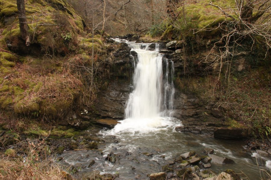 A major waterfall marks the Nant Llyn-fach stream joining the main river. The waterfall is about 5 metres tall.
 Tram truck wheel in Cwm Ceffyl, the valley containing Nant Llyn-fach.
 Cascades in Cwm Ceffyl. The enormous (2 metre diameter) tyre shows that this must be just below the opencast site.
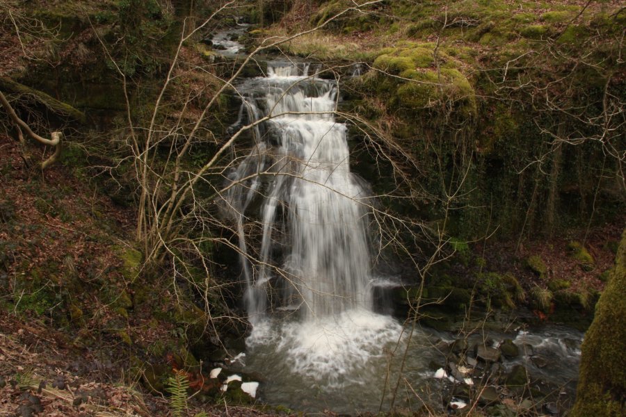 Top waterfall of the Nant Gwrelych river, about 5.5 metres high.
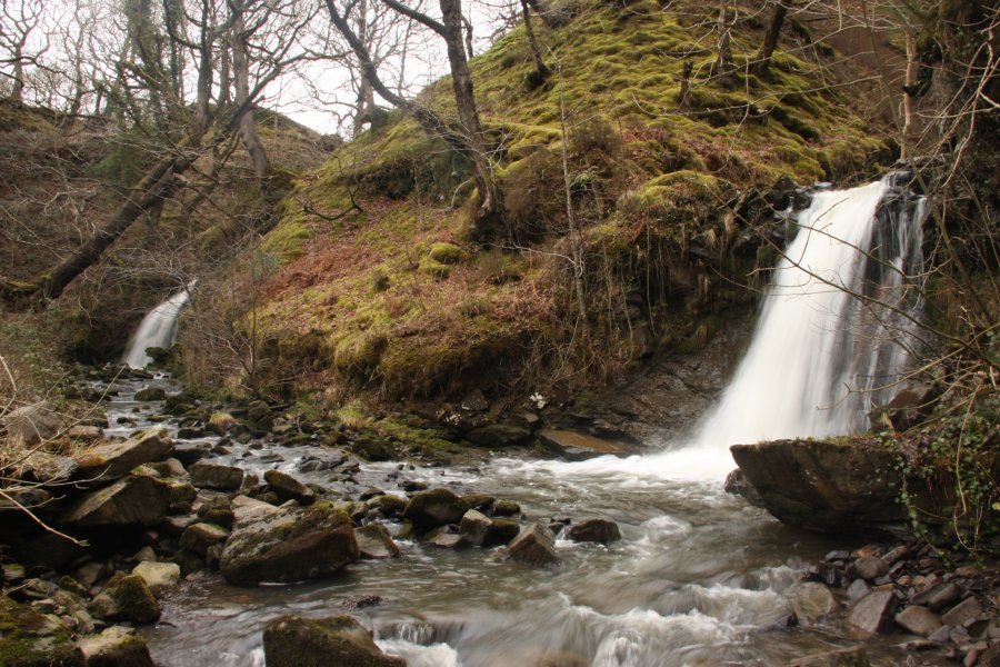 The top Cwm Gwrelych waterfall and Nant Llyn-fach waterfall sit very close to each other, creating a very nice twin falls effect.
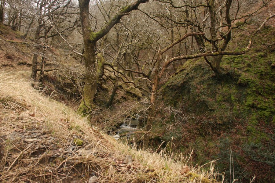 Cwm Gwrelych, upstream of the top waterfall.
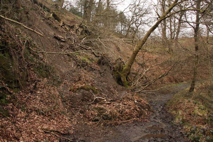 Landslide blocking the track.
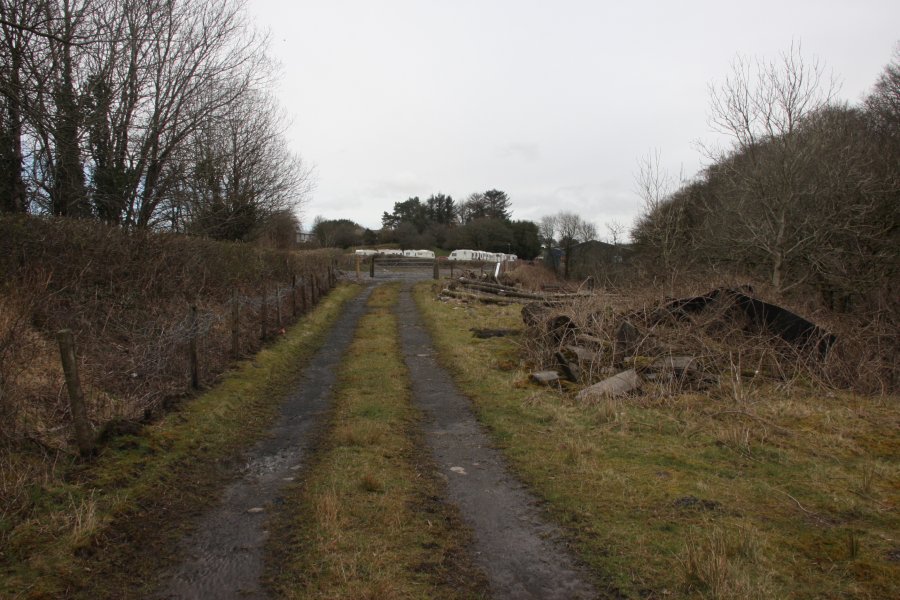 Caravans and farm buildings at Rhigos, at the end of the path.
 The day before, we had visited the nearby Four Waterfalls trail in order to refine the walking route. Exposed tree roots on an early part of the path.
 In flood conditions, Sgwd Clun Gwyn looked particularly impressive.
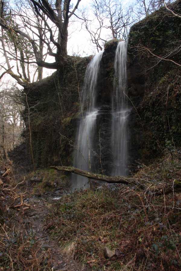 Twin waterfalls falling below the cliff path.
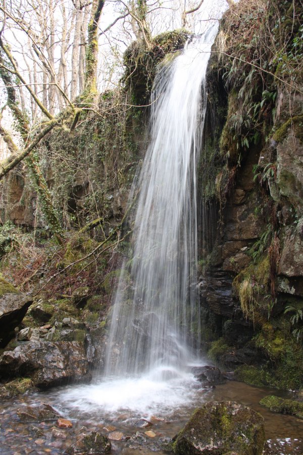 Single waterfall also below the cliff path.
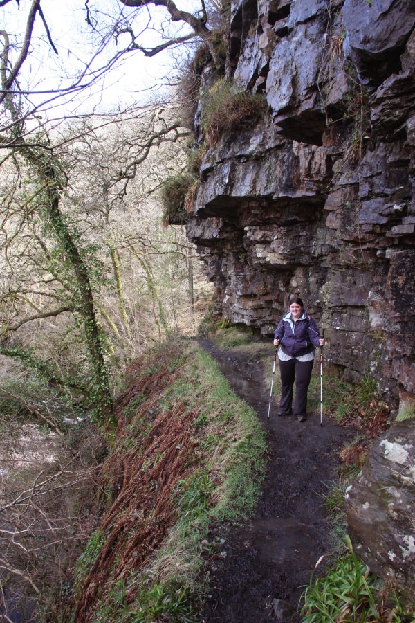 The cliff path above Sgwd Isaf Clun Gwyn.
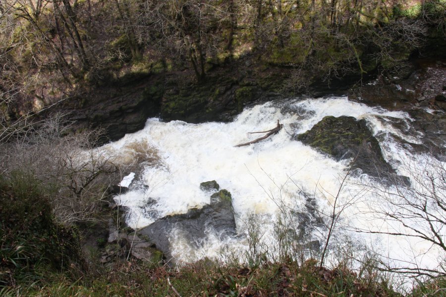 White flood water at Sgwd Isaf Clun Gwyn.
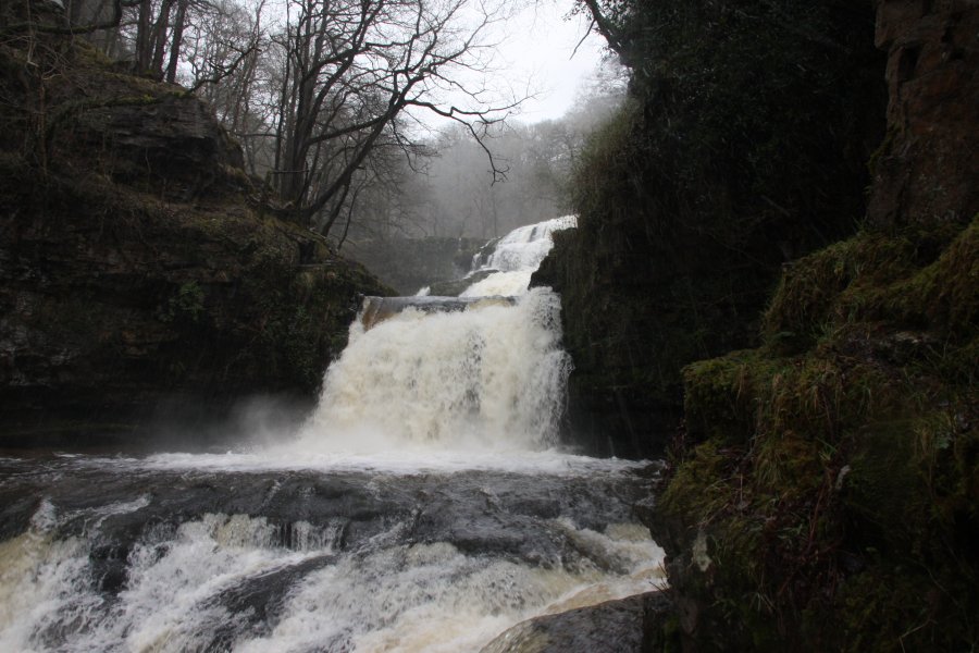 Sgwd Isaf Clun Gwyn in flood.
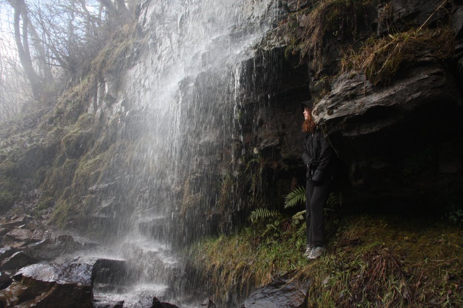 Immediately before Sgwd yr Eira, a small stream on the left also provides an opportunity for adventurous walkers to stand behind it. Nobody will notice though, because they are all fixated on the main waterfall.