Hardangervidda 2007
Norway's largest national park.
Hardangervidda is the largest mountain plateau in Europe (actually it is the largest peneplain, but who really cares about the distinction?), and forms an extensive range of glacially sculpted mountains and lakes stretching for about 100 kilometres along the southern half of Norway. Its average height is about 1100 metres. It is largely drained by huge fjords to the North and West, and its southern end is beside Rjukan, which you may have read about in my Heroes of Telemark gallery.
At the northern end of the plateau is its highest point at 1863 metres, situated in Norway's 6th largest mainland glacier; Hardangerjøkulen, which is a roughly circular plateau glacier, about 10 kilometres in diameter. The plan for this trip was to spend 3 days walking around the glacier, possibly standing on its edge at one point in the trip if possible. The route has two cabins (hytter) conveniently spaced for one day's walk between them, and one day each from Finse, the nearest proper village.
The cabins are open until the 15th of October, and our trip was at the end of September, so they would still be open, but we were planning to use a tent anyway, to cut out some of the distance, and to get closer to real hiking instead of the luxury that Norwegians prefer. The cabins would still be there if we needed them. The trails between the cabins and villages also have summer bridges on them; bridges that are only there during the months while the cabins are open. In winter, the lakes freeze, and cross-country skiers can cross them instead.
And as is customary, I have to mention that this area was used in the Star Wars film The Empire Strikes Back, as the filming location for Planet Hoth. Perhaps that is important to you.
For the previous couple of weeks, the weather at Finse had gone from snow, to rain, to sunshine. The temperature was low, but the most recent snows had been melted by the rain.
We arrived at around 04:00, and the moonlight was so bright that we could easily walk without torches, but map reading was a little difficult.
 Until the 1900s, there was no proper road between Oslo and Bergen, the two largest cities in Norway, lying on opposite sides of the Hardangervidda plateau. There were trails, but no real roads. At the start of the 20th century, a dirt track road was made, crossing the plateau from side to side. This was used to build the railway, which opened in 1909, over 100 years after the invention of the steam locomotive in Wales. Part of the railway has since been replaced with a different route, and amongst other things is used by the tourist trains for the Norway in a Nutshell route. The night trains give you free blankets, pillows, sleep masks, and earplugs, and the guard will wake you at your stop. We got off here at Finse, the highest station in the Norwegian rail system.
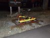 A railway bike; some are motorised, but most are pedal power like this. Sadly they do not seem to be available for rent.
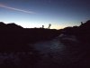
 Looking over Finsevatnet towards the Hardangerjøkulen glacier. The closer ridge on the left is nordre Kongsnuten (1620 metres), and the outcrop in the middle is Bukkeskinnshjellane (1759 metres). To the left of Bukkeskinnshjellane is Middalen, one of the large outflows from the glacier. Just to the left of it is the highest point of the glacier, and highest point in Hardangervidda, at 1863 metres.
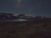 Hytter (holiday cabins) on the edge of Finsevatnet, and another natural light photograph. The path that we were going to take climbs up to the lower part of the glacial plateau on the right of the picture. The lake is the lowest point of our trip, at 1215 metres.
A little further along, we came to the first river crossing, marked as being a normal path on the map. Some large pieces of metal were stuck on the ground on either side, and there were two sets of stepping stones that were both underwater. Given the amount of water, there really should have been a bridge. I tried checking the first set of stepping stones to see if I could cross them. Careful to make sure I would not slip on the rocks, I forgot that the steep bank could be slippery too, and yes, I fell in. Not too badly, only below my knees and elbows, before I managed to quickly get myself onto the rocks instead, but it was enough.
The water was meltwater, only just above 0°C. It had poured into the tops of my boots, and the tops of my gloves. The air temperature was at most -5°C, and within 10 minutes, my gloves and walking boots had frozen solid. What a stupid, idiotic mistake to make, especially so early in the trip. There was no way I could continue wearing those essential pieces of clothing. I had brought my street shoes which had pathetic grip, and only had socks to use in place of gloves, but I had no choice, it was either that or lose the blood supply to my hands and feet. I put on every piece of warm clothing I had to bring my temperature back up, and we quickly continued. Idiot. Idiot.
 Then we reached the first summer bridge marked on the map. Only, there was no bridge. Then it hit us; the last river crossing was supposed to be a bridge too, but it had been removed for the winter. How can the cabins be open for another two weeks without the bridges needed to get to them? And what would we do now? The sun was rising, but the stars and Venus were still visible, so we made breakfast and waited for daylight.
 We looked at the Ustekveikja river, trying to decide if it would be possible to cross. But there was nowhere shallow enough to wade, or narrow enough to jump. Given how badly the earlier spill had affected me, it would be too dangerous to wade across the river, and the water was also too deep and fast for us to risk trying to jump 3 metres from rock to rock in a narrow section, especially with 15 kg bags on our backs. Even if we could, there were another seven crossings like this later on the route, and any one of them could force us to turn back.
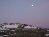 Not wanting to waste our 3 days here, we decided to rework the entire trip, and invent a new route that bypassed all river crossings, all lakes, and other major obstacles, while taking us at least part way around the glacier to see some of the best scenery. We would not make it all the way around the glacier, but we would at least have a worthwhile trip. Assuming the map showed all of the rivers, of course (which it turns out that it didn't).
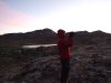 Photographing the sunrise.
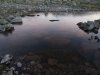 The lakes were icy, sometimes invisibly so, but not yet iced enough to be safe.
 A wrinkle in ice.
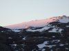 The highest point of Hardangerjøkulen.
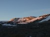 Bukkeskinnshjellane.
 Bukkeskinnsbotn.
 Boulders in the sunrise.
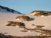 Glacier edge.
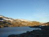 A small lake on Ustekveikja, just one more obstacle that cannot be crossed without a boat, separating us from the glacier.
 Lille Finsenuten (1493 metres).
 Boulder in the sunrise.
 For a little while, we followed Ustekveikja, to see if there might possibly be somewhere to cross, but this waterfall was the easiest place, and it was far too risky for us to consider it. So our revised plan would have to suffice.
 Scallops in the snow below the edge of the glacier.
 Lake on Ustekveikja, and the edge of Dyrhaugane (1583 metres), where we should have been.
 Lake edge.
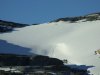 Smaller glacier on Dyrhaugane.
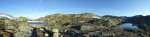 Near the Ustekveikvatnet lake, where we left the river, and wove our way between a myriad of small lakes (to the right) to get to the old railway, and the dirt track road that has since become a bike trail.
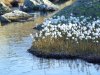 Life on the stream.
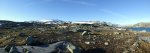 Hardangerjøkulen, Dyrhaugane, Ustekveikvatnet branches, Florsveggnuten (1387 metres) and the wasteland of glacial boulder debris.
 Frosted sleepers, in a beautiful natural light.
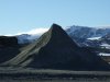 Matterhorn and Mont Blanc. Yeah.
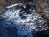 Stacked ice rafts in a stream.
 Stacked ice rafts.
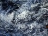 Butterfly.
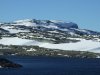 Our first view over the Fagervatnet lake and Dyrhaugane towards Ramnabergnuten (1731 metres). This mountain sits on the very edge of the Hardangerjøkulen glacier, and is one of the best looking mountains surrounding it. I hope you like it, because it will star in quite a few photographs.
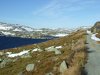 Fagervatnet and Memorge (1412 metres), showing the bike trail.
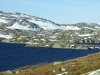 Fagervatnet and Memorge.
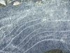 Bubble lines in ice.
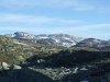 Looking across Larsdalen and Såtedalen, towards the rolling mountains behind Såte (1558 metres), with Såtehjellane to the right. The largest peak visible ahead is about 1766 metres, and the largest to the right is about 1531 metres. Sorry about the pylons, they will get in the way of many more photographs later.
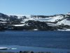 Looking over the Tagavatnet lake and Memorge, towards Hardangerjøkulen.
 Hammerhead poised boulder near Tagavatnet.
 Clearly the old railway has been abandoned. At least the tunnels may be a refuge if the weather really turned bad. But it makes you wonder how they keep the tunnels clear when they are in use. More on that later. The track above is the highest point on the bike trail, where we would leave it.
 Ramnabergnuten and the permanent snow packs by Tagavatn.
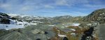 The view from the high point of the bike trail down Moldådalen; vestre Låghellerhøgdene (1453 metres) on the left, austre Låghellerhøgdene (1491 metres) on the right, and Høghellerhøgdene (1529 metres) between them.
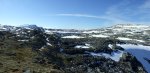 The awesome terrain between Ramnabergnuten and vestre Låghellerhøgdene, where we would be going. There was no official path, but there were cairns marking an abandoned route, picking its way around lakes not shown on the map, around small cliffs, over streams, and across snowfields.
 Gneiss. This is a metamorphic rock related to granite (and there is plenty of granite beds here too), but with these layering patterns that give it away. Some places even seemed to have occasional patches of limestone, considering the smell when it was broken, but not enough to make caves.
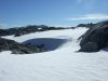 Windblown snowfield and glacier.
 Pink snow? At first we thought it might be the site of an animal kill (especially since there were some paw prints nearby), but after several more patches we realised it must be a stain from the lichens.
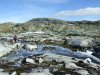 Taking a route between lakes and over streams to reach vestre Låghellerhøgdene.
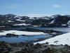 The beautiful view over the icy lakes to the glacier.
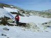 Snowfields on vestre Låghellerhøgdene.
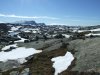 Our path across the scoured landscape. On the left we could see into the heart shaped sea ... er ... lake. This lake was shown as an isolated lake on the map, but actually has a significant channel that connects it to the next lake, and is not possible to cross without an aid. So the map lies about rivers in this area - this was not promising.
 Ramnabergnuten and Luranuten (1649 metres), seen over the heart shaped lake.
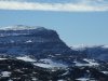 Ramnabergnuten, with its 350 metre scarp to the plateau.
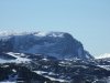 The superb 300 metre cliff of Luranuten.
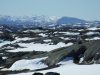 Onen (1620 metres), the site of several smaller glaciers. Onen is on the western edge of the plateau, and features a drop of its full height - 1620 metres - into the fjord below. To give you an idea of the terrain, there are several hundred lakes, hidden behind all the small scars in this photograph. Some are hidden under snow (not always thick enough to walk on at this time of year), some are open.
 Ridiculously poised boulders scattered across the landscape.
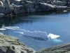 Icebergs in the heart shaped lake. The under-water part almost looks like a maple leaf - perhaps it has floated down from the Canadian ice shelf.
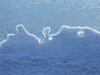 Iceberg sculpture.
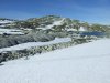 Vestre Låghellerhøgdene over the heart shaped lake.
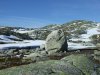 Megas lithos.
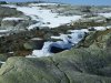 Swept snow on vestre Låghellerhøgdene.
 Snow shelf over a hidden lake. This one proved safe enough to walk on, but would you want to be the one to test the assumption?
 The endless rolling landscape of Hardangervidda. From left to right; Dyrhaugane, Hardangerjøkulen, Ramnabergnuten, Luranuten, Onen with Kyrelvfjellet (1404 metres) beside it, and finally Vassfjøro (1639 metres). The main lake is vestre Memorgevatnet.
 Dyrhaugane and Hardangerjøkulen, showing the northern edge of the glacier.
 Vassfjøro, showing its impressive 400 metre cliff on the left, and the top of the 800 metre cliff and scarp on the right, which dropps into the hidden Osafjorden (a branch of Hardangerfjorden).
 You probably did not notice it in the last panorama, but on the near side of vestre Memorgevatnet was this cabin, perched on the edge of a drop in the middle of nowhere. The cabin is privately owned by a local mountaineering group, and can be rented if desired. Sleeps 5-6 at most.
 Overhanging slab in a small valley, held in place only by friction ... or perhaps by ...
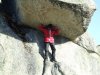 Atlas.
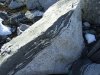 Gneiss and granite.
 A snow field that conceals a small lake. The edges are thin enough to fall through.
 Covered lake.
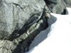 Windswept edges of the snow. Wherever it touches rock, the wind tries to carve out these cliffs. Sometimes these are impossible to see until you step on them, and they break off into a hole beneath them. Not really dangerous (except if the drop is 4 metres or so, as it is here), but not something you want to try too often.
 Graceful curves.
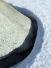 Tight corners.
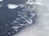 Bubbles in ice.
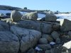 Erratics (yeah, that's the name for these boulders left behind by glaciers).
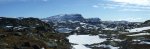 Back a little way, we set up camp below the ridge (one of the few patches of ground with some earth), with this view from our tent.
 An erratic evening.
 Evening light.
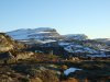 Ramnabergnuten and Luranuten in the glow of the dying sun.
 Ramnabergnuten.
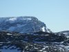 Luranuten.
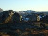 Erratics with Brakanuten (1312 metres) in the background.
 Erratic in shadow.
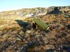 Our lightweight tent pitched for the night. Sunset was at about 19:00.
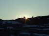 At 21:00, we were woken by the wind, which had begun to blow hard enough that the tent door had been pulled open, and the tent was being violently shaken about. Worried that the pole or guy lines would snap, I checked the pegs (hint; put something warm on before you try this). The -10°C temperature (-23°C with wind chill) had frozen the ground around them, keeping them in place. But the tent looked like it was under a lot of strain, and did not feel safe at all. After discussing whether abandoning it, and walking back in the moonlight with torches was a sensible idea, we packed up everything we could, and prepared to leave if the tent collapsed. A very bad night's sleep followed, with the wind removing all the heat from the tent, and even with all of our warm clothing on, sleeping was only possible for a few hours at a time, with another peg check by Claudio at midnight, when the wind died down a little.
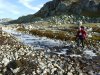 In the morning, the tent was covered in a layer of frost, and the sky was threatening rain. Even the wind resistant Trangia was having trouble staying alight long enough to heat up breakfast. Well, as the damer says, there's no point in living if you can't feel the life. We packed the tent, and began to walk up towards the glacier, prepared to turn back at any point if the weather became too dangerous, but hoping that we could still make it to stand on the edge of the glacier itself.
 The wind was still strong after its show last night, reaching about 45 mph (20 m/s, 70 kph), and with the temperature still sitting at -5°C, the wind chill brought it down to -16°C. Not extreme, but cold enough to wear a few layers of clothing, and protect our faces.
 Dyrhaugane and the collection of lakes that makes up vestre Memorgevatnet.
 The route climbs and drops, with occasional points where the only way forward is sideways to a safe point, then downwards.
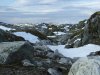 Drumlins.
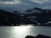 Light breaking through the storm clouds on vestre Memorgevatnet.
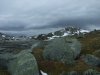 The outflow from vestre Memorgevatnet has enough water that wading would be unpleasant, but fortunately there are a couple of points that can be jumped across, though they are at the absolute limit for jumping with a 15 kg backpack.
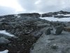 The scoured bedrock leading up towards the glacier.
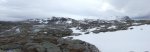 A beautiful view of Dyrhaugane, Hardangerjøkulen and Ramnabergnuten, with the lake collection that makes up austre Memorgevatnet. The lakes could be seen to flow out not only to vestre Memorgevatnet, but also through a valley in the ridge we were walking, to some lakes on the other side. These outflowing rivers were also not shown on the map. We could descend and attempt to cross the latter one, but if we failed, we would probably be forced to return all the way back to the last river crossing, and proceed all the way around the edges of vestre Memorgevatnet, austre Memorgevatnet, and the multitude of smaller lakes and rivers, to get to the far side, about 14 kilometres round trip, on steeply sloping ground that we could not even be sure was safe enough to walk on. With the weather closing in, we decided it would be best to make it to the next small summit, and then turn around.
 Frozen waterfalls on Dyrhaugane.
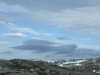 Then it began to spit, and the rain was freezing onto our clothes. The ground could soon become too slippery for us to grip (especially with my street shoes), and in an area with smoothly polished gneiss, it would not have been wise to continue inventing a route up the slopes to the glacier.
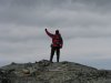 The summit, and my new personal altitude record in Norway; 1353 metres, higher than anything in my own country. It was me, honest. Can't you tell?
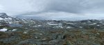 The panorama from the summit: Ramnabergnuten, Luranuten, Onen, Kyrelvfjellet, Austdølnuten (1329 metres), Vassfjøro.
 Lake detail. At least the amount of water does not look too high, so the adjoining streams would have been easy enough to cross.
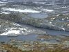 Rift lake and plateau lakes.
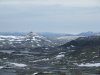 Austdølnuten.
 Looking back towards Storhaugane (1428 metres).
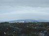 Clouds being bent in the wind over austre Låghellerhøgdene. The weather was quickly getting worse.
 Boat storage beside vestre Memorgevatnet.
 Levitating ice.
 The weather was closing in very fast, and the clouds over Ramnabergnuten were being blown over it at over 80 mph (35 m/s, 130 kph). Then the cloudbase dropped, and the rain worsened. We had definitely made the right decision to turn back, even though it did mean cutting the trip a day short.
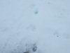 On the way back, we kept seeing these tracks from a fairly large animal, that was evidently following our route in reverse, probably trying to find us. From the size and appearance of the tracks, it was probably a wolverine.
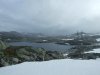 Almost back at the path, we got a view of what awaited us on the way back to Finse. Rain, rain, and more icy cold rain.
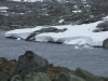 Ice shelf breaking into icebergs in Tagavatn. The weather was pretty miserable after this, so the cameras remained under cover.
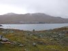 Back at Finse, showing the main part of the village (not including many of the holiday hytter).
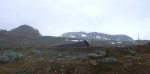 Lille Finsenuten and store Finsenuten (1599 metres), showing the new railway tunnel route.
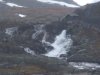 A small hydroelectric station, with the borrowed camera showing its annoying habbit of converting low-light pictures into smudgy oil paintings.
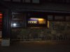
 The hotel at Finse, just outside the monument to Scott (of the Antarctic), who trained here.
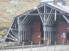 The Finse Rallar museum, which has exhibits from the earlier days of the railway.
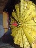 The blades of a snow plough - unlike any other snow plough I have ever seen. This explains how they manage to remove such ridiculous amounts of snow when they block the line.
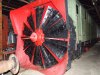 The old steam powered snow plough.
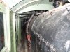 The enormous boiler did not even have the ability to move the plough on its own; it had to be pushed by a separate engine. This boiler could only be used to rotate the blades, which sliced through the snow, and threw it to the side.
 At the controls.
 The steam powered plough in operation in 1955.
 I will allow this picture to speak for itself.
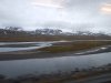 The Hardangerjøkulen glacier seen from the moving train (apologies for the resulting picture quality) over Ustekveikja. From left to right: søre Kongsnuten (1740 metres), the Blåsen galcier outflow, nordre Kongsnuten, the Middalen glacier outflow, and Bukkeskinnshjellane.
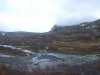 Bergsmulen (1502 metres).
 Bergsmulen with the Nysettjørnan lake.
 Bergsmulen over Nysettjørnan.
 The ridge between Bergsmulen and Hestfossnuten (1544 metres).
 Until the 1900s, there was no proper road between Oslo and Bergen, the two largest cities in Norway, lying on opposite sides of the Hardangervidda plateau. There were trails, but no real roads. At the start of the 20th century, a dirt track road was made, crossing the plateau from side to side. This was used to build the railway, which opened in 1909, over 100 years after the invention of the steam locomotive in Wales. Part of the railway has since been replaced with a different route, and amongst other things is used by the tourist trains for the Norway in a Nutshell route. The night trains give you free blankets, pillows, sleep masks, and earplugs, and the guard will wake you at your stop. We got off here at Finse, the highest station in the Norwegian rail system.
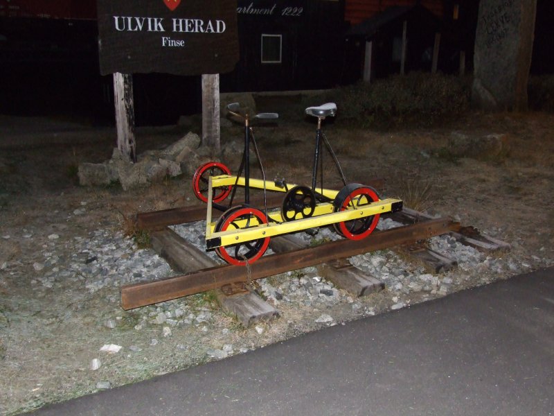 A railway bike; some are motorised, but most are pedal power like this. Sadly they do not seem to be available for rent.
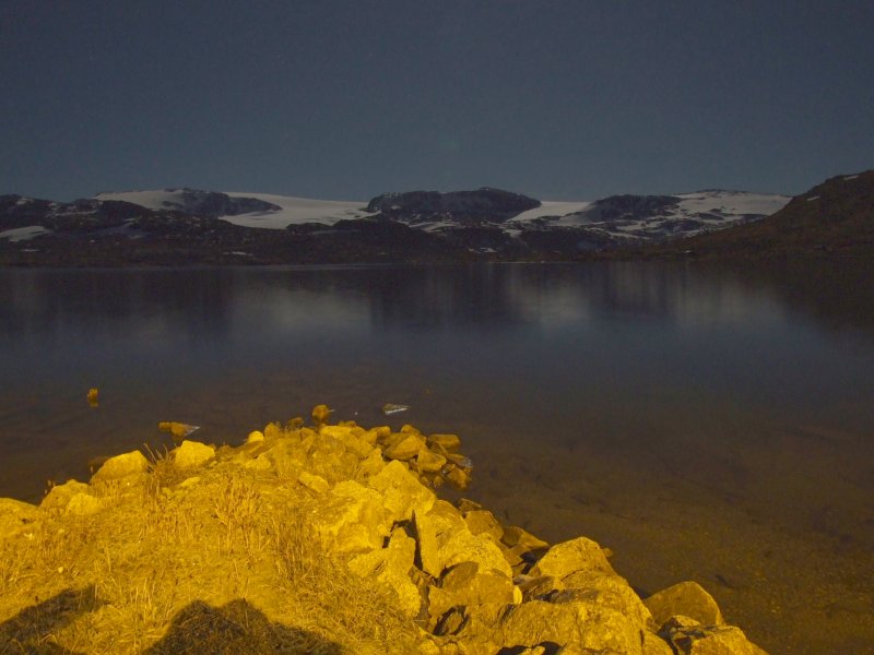 Looking over Finsevatnet towards the Hardangerjøkulen glacier. The closer ridge on the left is nordre Kongsnuten (1620 metres), and the outcrop in the middle is Bukkeskinnshjellane (1759 metres). To the left of Bukkeskinnshjellane is Middalen, one of the large outflows from the glacier. Just to the left of it is the highest point of the glacier, and highest point in Hardangervidda, at 1863 metres.
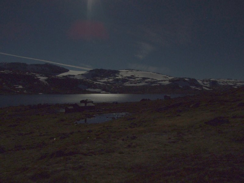 Hytter (holiday cabins) on the edge of Finsevatnet, and another natural light photograph. The path that we were going to take climbs up to the lower part of the glacial plateau on the right of the picture. The lake is the lowest point of our trip, at 1215 metres.
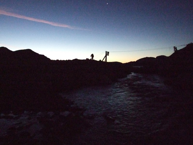 Then we reached the first summer bridge marked on the map. Only, there was no bridge. Then it hit us; the last river crossing was supposed to be a bridge too, but it had been removed for the winter. How can the cabins be open for another two weeks without the bridges needed to get to them? And what would we do now? The sun was rising, but the stars and Venus were still visible, so we made breakfast and waited for daylight.
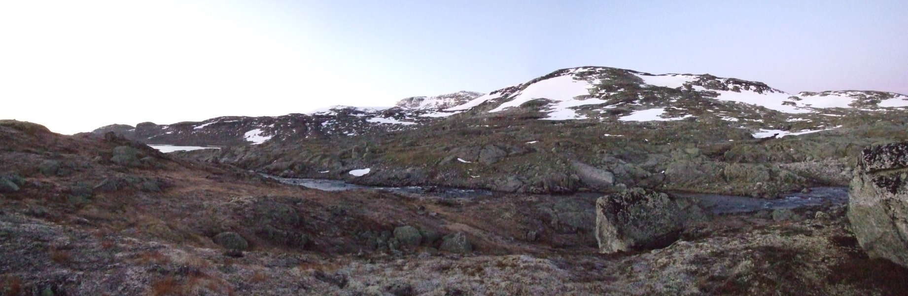 We looked at the Ustekveikja river, trying to decide if it would be possible to cross. But there was nowhere shallow enough to wade, or narrow enough to jump. Given how badly the earlier spill had affected me, it would be too dangerous to wade across the river, and the water was also too deep and fast for us to risk trying to jump 3 metres from rock to rock in a narrow section, especially with 15 kg bags on our backs. Even if we could, there were another seven crossings like this later on the route, and any one of them could force us to turn back.
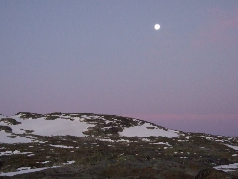 Not wanting to waste our 3 days here, we decided to rework the entire trip, and invent a new route that bypassed all river crossings, all lakes, and other major obstacles, while taking us at least part way around the glacier to see some of the best scenery. We would not make it all the way around the glacier, but we would at least have a worthwhile trip. Assuming the map showed all of the rivers, of course (which it turns out that it didn't).
 Photographing the sunrise.
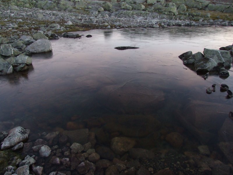 The lakes were icy, sometimes invisibly so, but not yet iced enough to be safe.
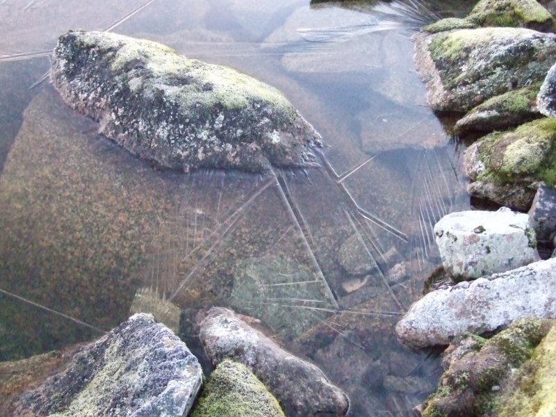 A wrinkle in ice.
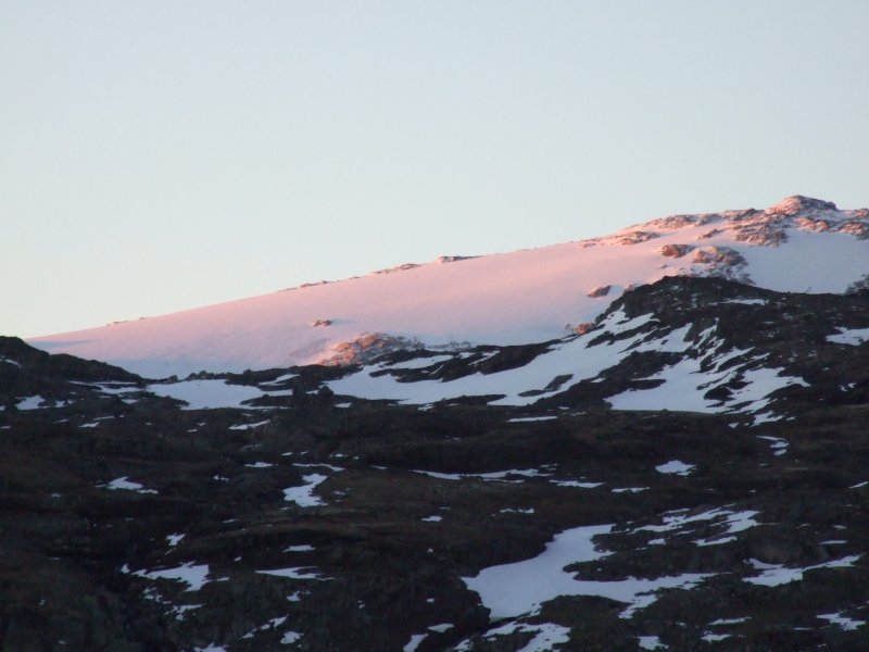 The highest point of Hardangerjøkulen.
 Bukkeskinnshjellane.
 Bukkeskinnsbotn.
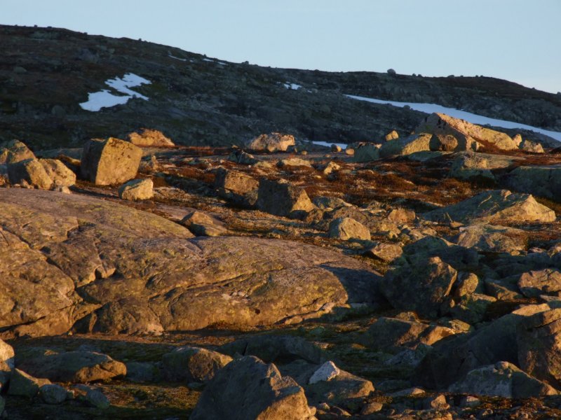 Boulders in the sunrise.
 Glacier edge.
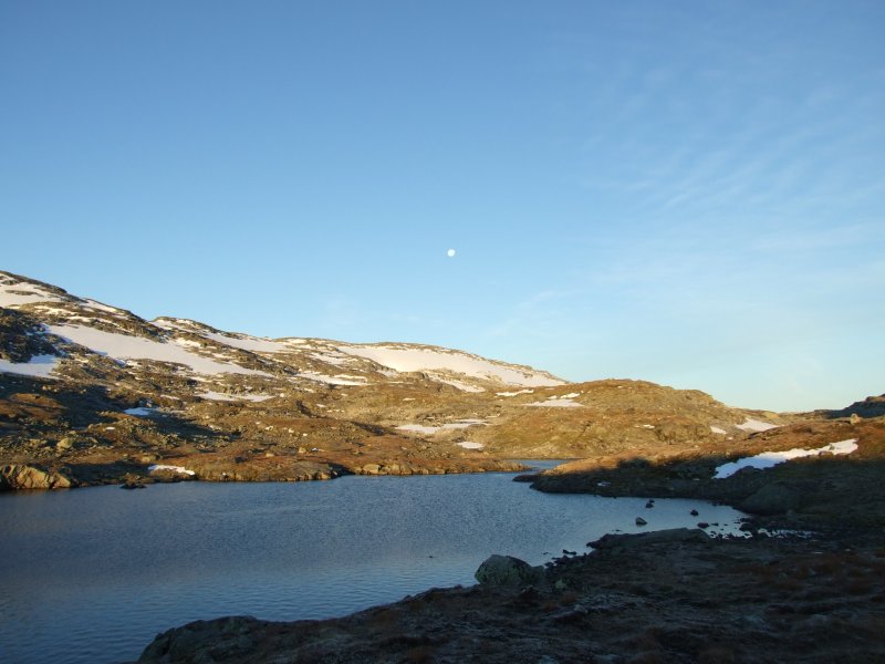 A small lake on Ustekveikja, just one more obstacle that cannot be crossed without a boat, separating us from the glacier.
 Lille Finsenuten (1493 metres).
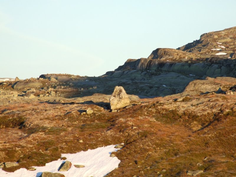 Boulder in the sunrise.
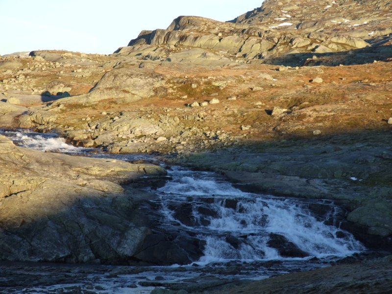 For a little while, we followed Ustekveikja, to see if there might possibly be somewhere to cross, but this waterfall was the easiest place, and it was far too risky for us to consider it. So our revised plan would have to suffice.
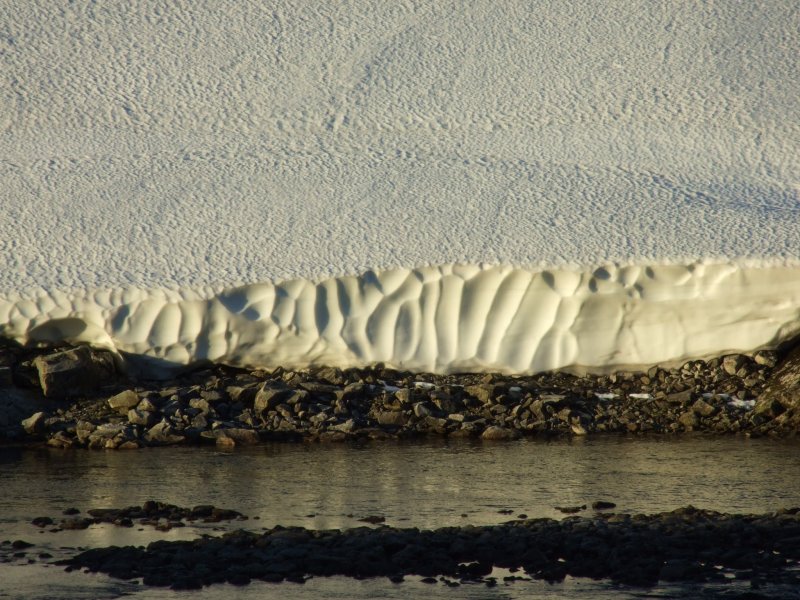 Scallops in the snow below the edge of the glacier.
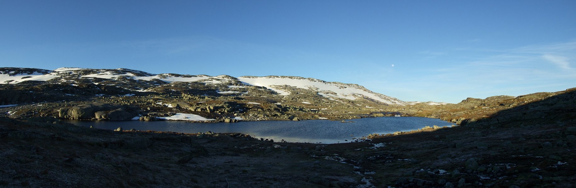 Lake on Ustekveikja, and the edge of Dyrhaugane (1583 metres), where we should have been.
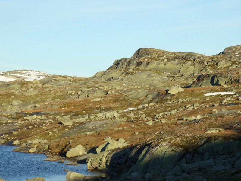 Lake edge.
 Smaller glacier on Dyrhaugane.
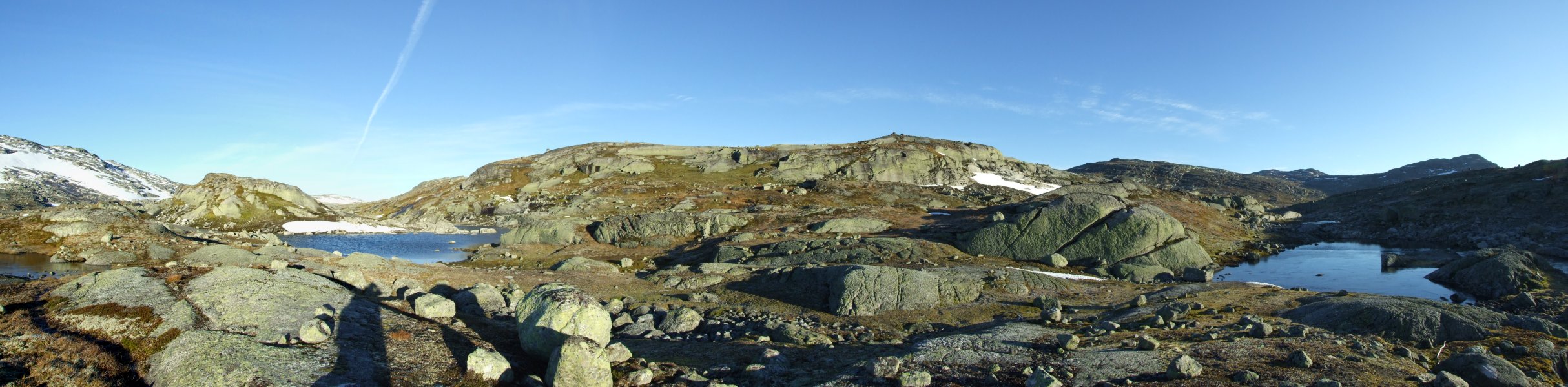 Near the Ustekveikvatnet lake, where we left the river, and wove our way between a myriad of small lakes (to the right) to get to the old railway, and the dirt track road that has since become a bike trail.
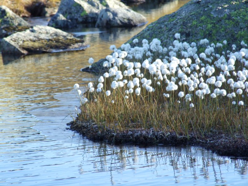 Life on the stream.
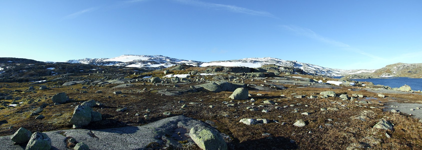 Hardangerjøkulen, Dyrhaugane, Ustekveikvatnet branches, Florsveggnuten (1387 metres) and the wasteland of glacial boulder debris.
 Frosted sleepers, in a beautiful natural light.
 Matterhorn and Mont Blanc. Yeah.
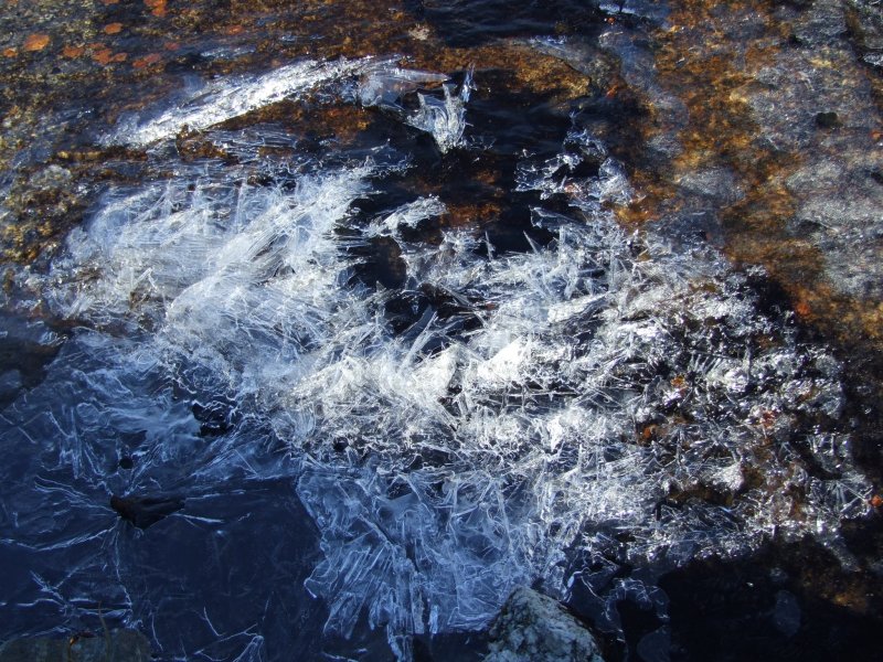 Stacked ice rafts in a stream.
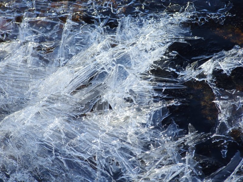 Stacked ice rafts.
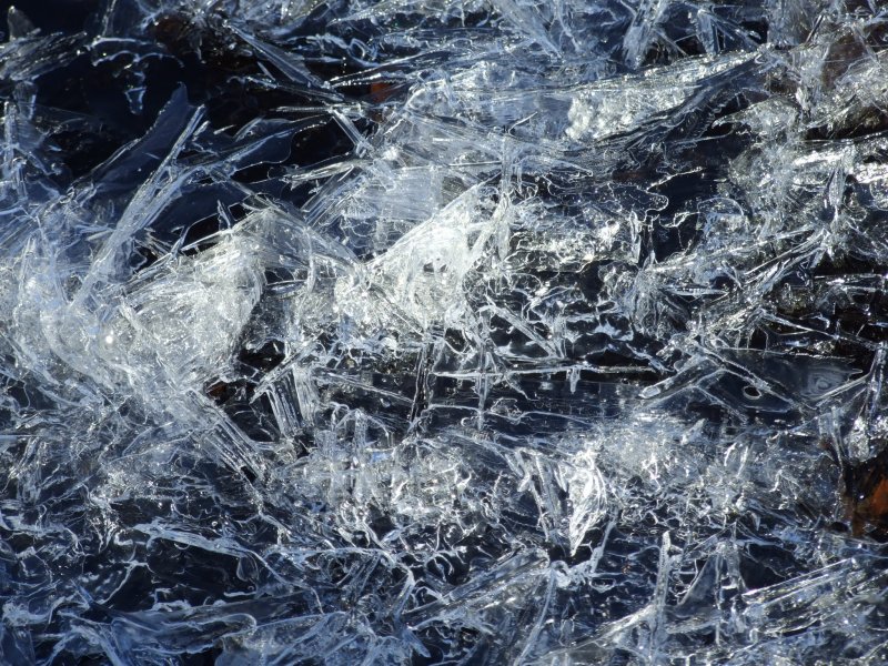 Butterfly.
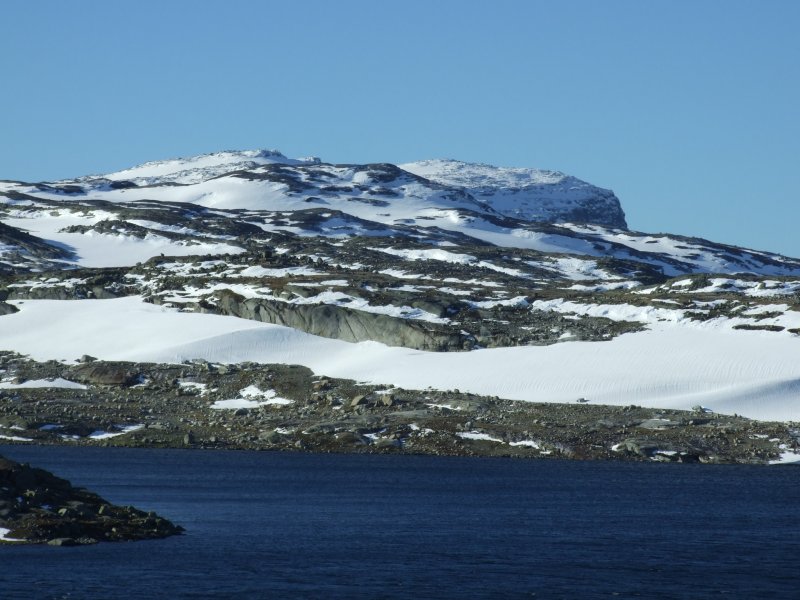 Our first view over the Fagervatnet lake and Dyrhaugane towards Ramnabergnuten (1731 metres). This mountain sits on the very edge of the Hardangerjøkulen glacier, and is one of the best looking mountains surrounding it. I hope you like it, because it will star in quite a few photographs.
 Fagervatnet and Memorge (1412 metres), showing the bike trail.
 Fagervatnet and Memorge.
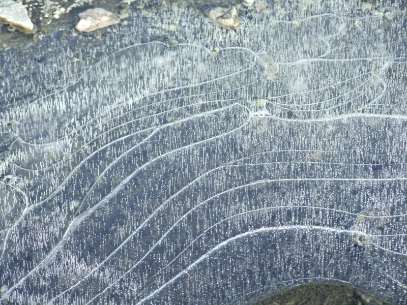 Bubble lines in ice.
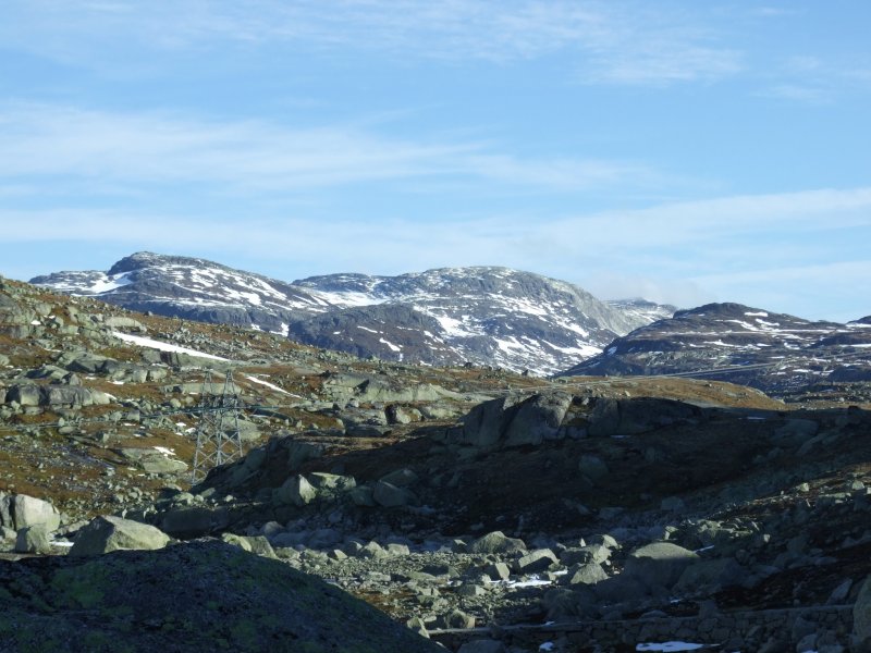 Looking across Larsdalen and Såtedalen, towards the rolling mountains behind Såte (1558 metres), with Såtehjellane to the right. The largest peak visible ahead is about 1766 metres, and the largest to the right is about 1531 metres. Sorry about the pylons, they will get in the way of many more photographs later.
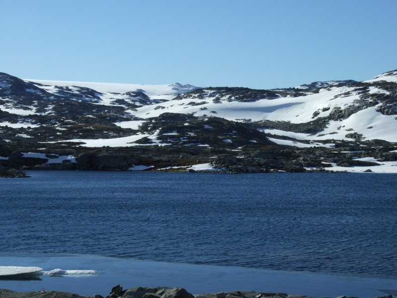 Looking over the Tagavatnet lake and Memorge, towards Hardangerjøkulen.
 Hammerhead poised boulder near Tagavatnet.
 Clearly the old railway has been abandoned. At least the tunnels may be a refuge if the weather really turned bad. But it makes you wonder how they keep the tunnels clear when they are in use. More on that later. The track above is the highest point on the bike trail, where we would leave it.
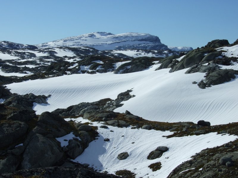 Ramnabergnuten and the permanent snow packs by Tagavatn.
 The view from the high point of the bike trail down Moldådalen; vestre Låghellerhøgdene (1453 metres) on the left, austre Låghellerhøgdene (1491 metres) on the right, and Høghellerhøgdene (1529 metres) between them.
 The awesome terrain between Ramnabergnuten and vestre Låghellerhøgdene, where we would be going. There was no official path, but there were cairns marking an abandoned route, picking its way around lakes not shown on the map, around small cliffs, over streams, and across snowfields.
 Gneiss. This is a metamorphic rock related to granite (and there is plenty of granite beds here too), but with these layering patterns that give it away. Some places even seemed to have occasional patches of limestone, considering the smell when it was broken, but not enough to make caves.
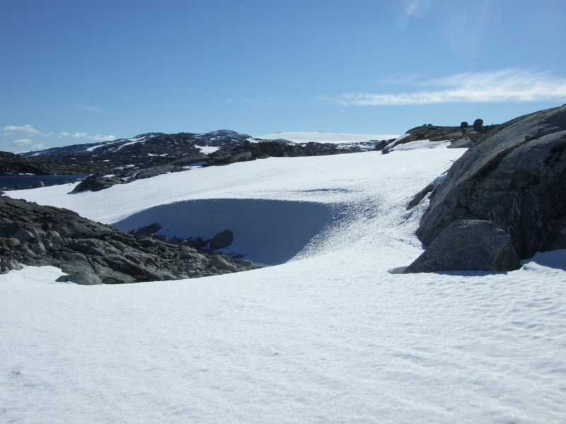 Windblown snowfield and glacier.
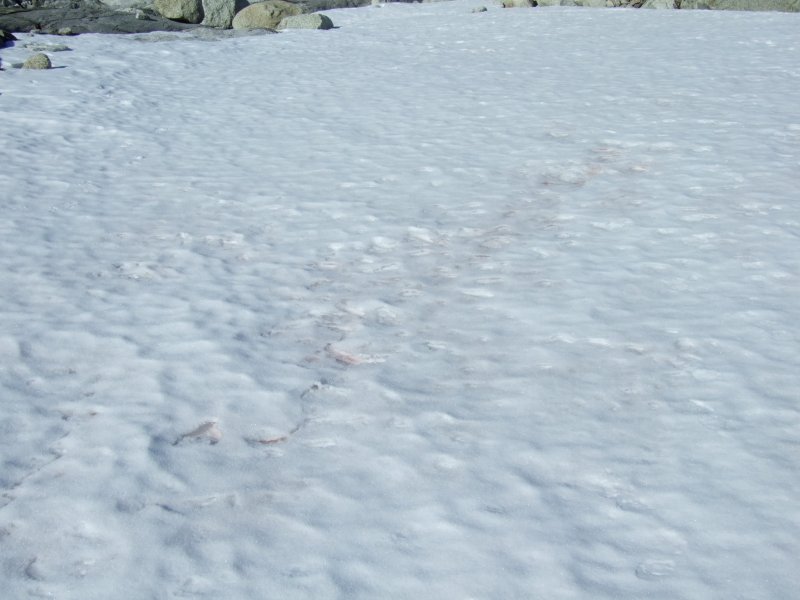 Pink snow? At first we thought it might be the site of an animal kill (especially since there were some paw prints nearby), but after several more patches we realised it must be a stain from the lichens.
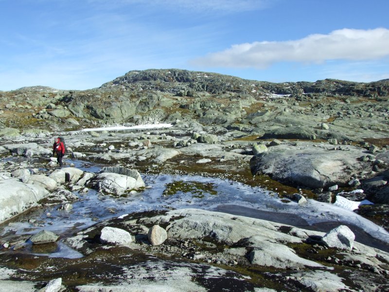 Taking a route between lakes and over streams to reach vestre Låghellerhøgdene.
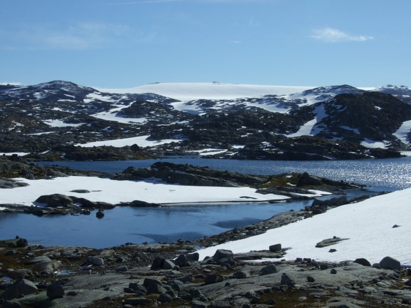 The beautiful view over the icy lakes to the glacier.
 Snowfields on vestre Låghellerhøgdene.
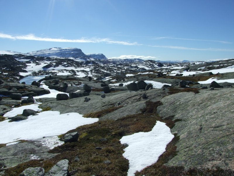 Our path across the scoured landscape. On the left we could see into the heart shaped sea ... er ... lake. This lake was shown as an isolated lake on the map, but actually has a significant channel that connects it to the next lake, and is not possible to cross without an aid. So the map lies about rivers in this area - this was not promising.
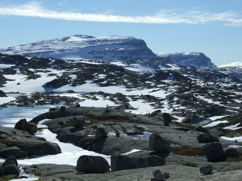 Ramnabergnuten and Luranuten (1649 metres), seen over the heart shaped lake.
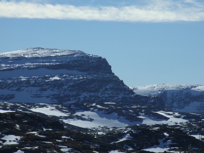 Ramnabergnuten, with its 350 metre scarp to the plateau.
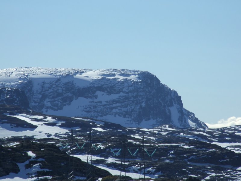 The superb 300 metre cliff of Luranuten.
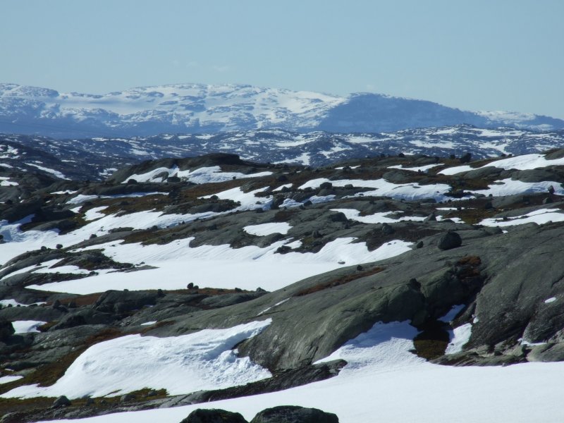 Onen (1620 metres), the site of several smaller glaciers. Onen is on the western edge of the plateau, and features a drop of its full height - 1620 metres - into the fjord below. To give you an idea of the terrain, there are several hundred lakes, hidden behind all the small scars in this photograph. Some are hidden under snow (not always thick enough to walk on at this time of year), some are open.
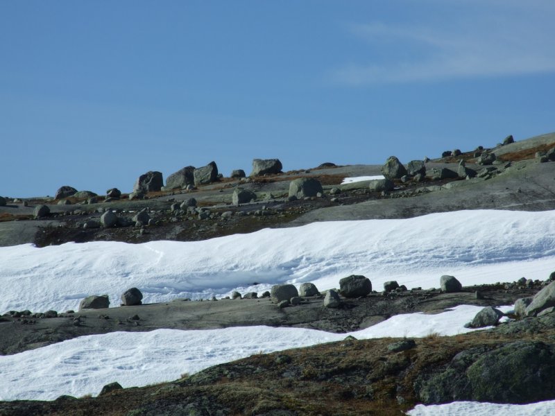 Ridiculously poised boulders scattered across the landscape.
 Icebergs in the heart shaped lake. The under-water part almost looks like a maple leaf - perhaps it has floated down from the Canadian ice shelf.
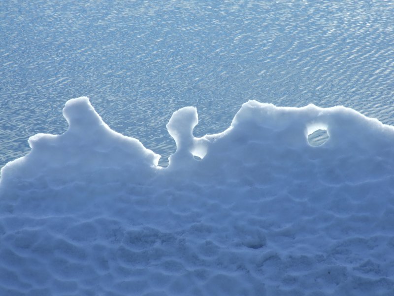 Iceberg sculpture.
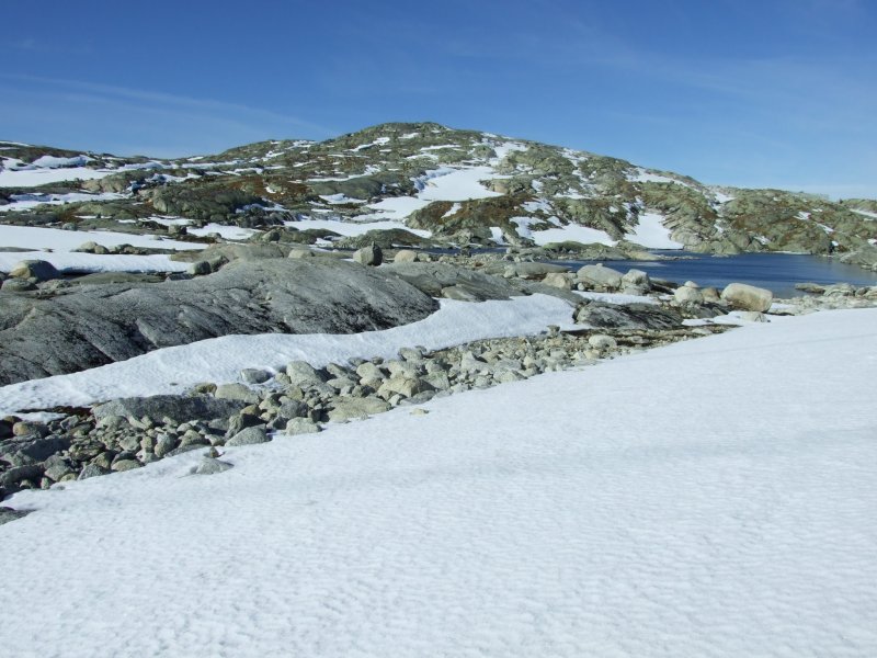 Vestre Låghellerhøgdene over the heart shaped lake.
 Megas lithos.
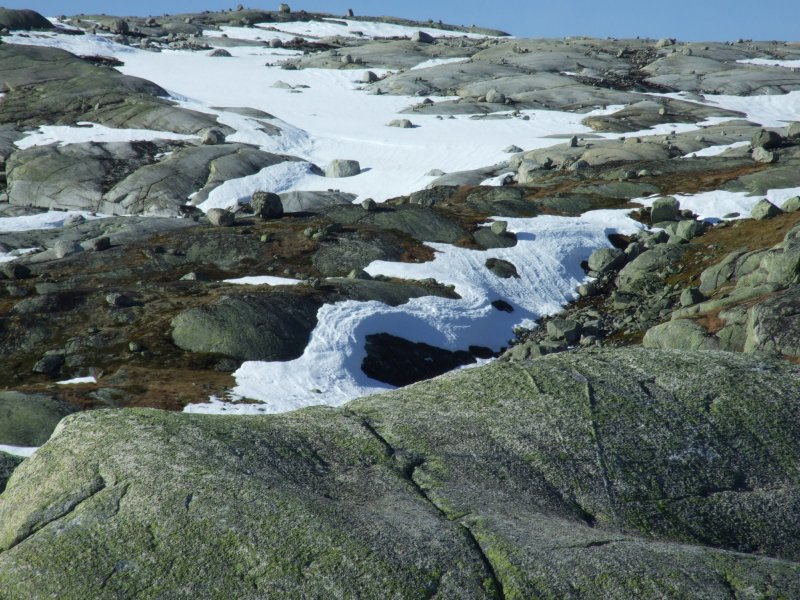 Swept snow on vestre Låghellerhøgdene.
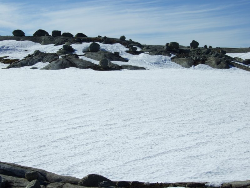 Snow shelf over a hidden lake. This one proved safe enough to walk on, but would you want to be the one to test the assumption?
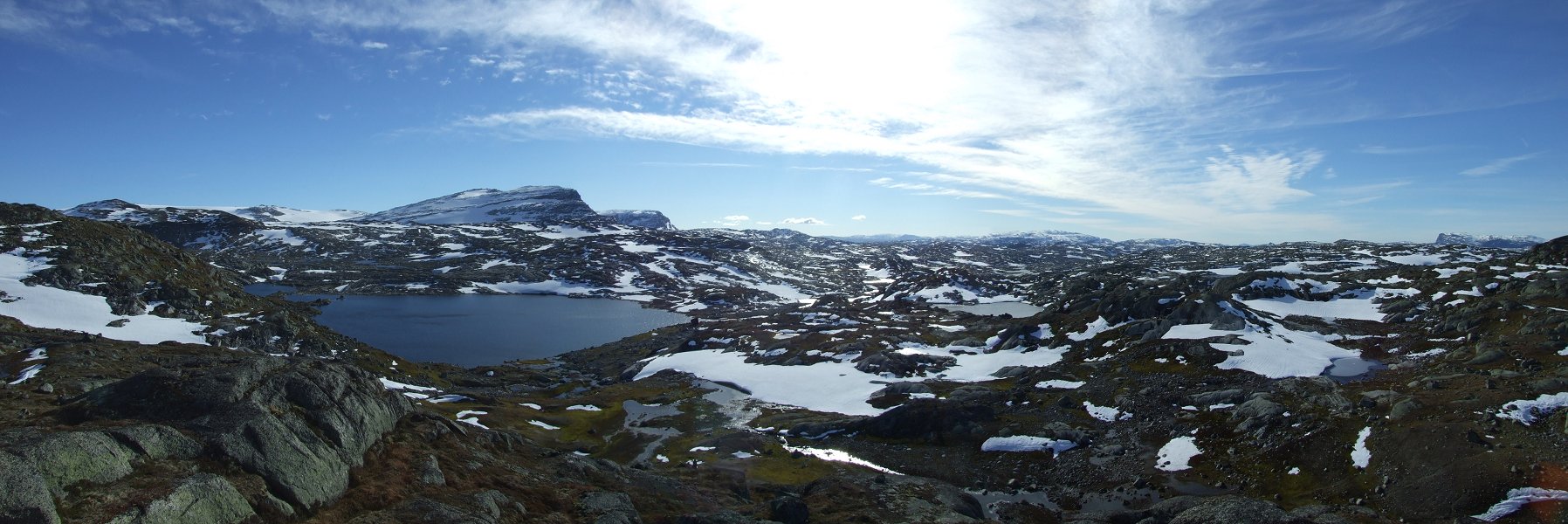 The endless rolling landscape of Hardangervidda. From left to right; Dyrhaugane, Hardangerjøkulen, Ramnabergnuten, Luranuten, Onen with Kyrelvfjellet (1404 metres) beside it, and finally Vassfjøro (1639 metres). The main lake is vestre Memorgevatnet.
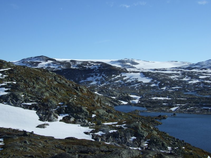 Dyrhaugane and Hardangerjøkulen, showing the northern edge of the glacier.
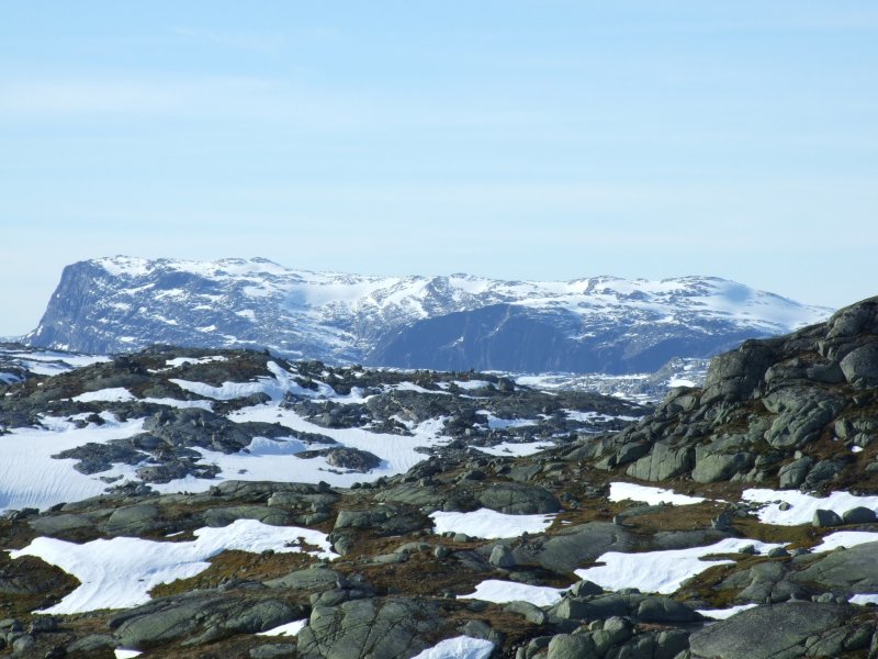 Vassfjøro, showing its impressive 400 metre cliff on the left, and the top of the 800 metre cliff and scarp on the right, which dropps into the hidden Osafjorden (a branch of Hardangerfjorden).
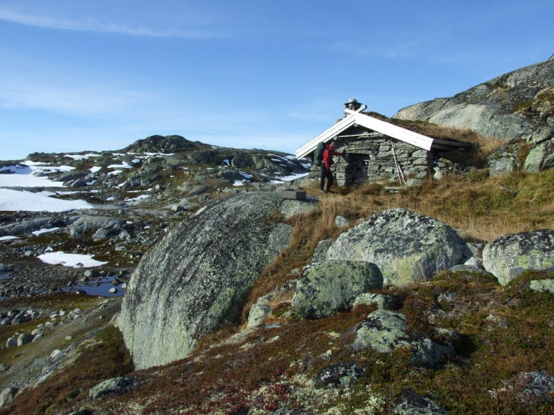 You probably did not notice it in the last panorama, but on the near side of vestre Memorgevatnet was this cabin, perched on the edge of a drop in the middle of nowhere. The cabin is privately owned by a local mountaineering group, and can be rented if desired. Sleeps 5-6 at most.
 Overhanging slab in a small valley, held in place only by friction ... or perhaps by ...
 Atlas.
 Gneiss and granite.
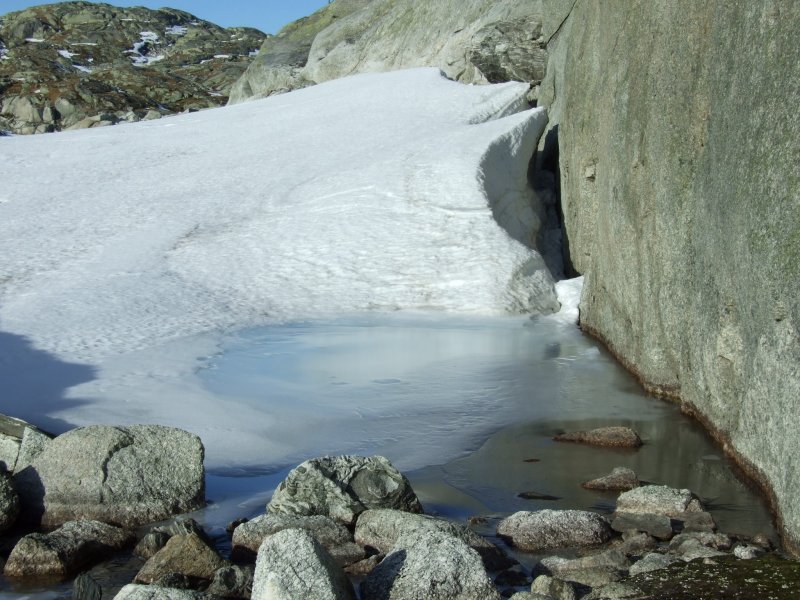 A snow field that conceals a small lake. The edges are thin enough to fall through.
 Covered lake.
 Windswept edges of the snow. Wherever it touches rock, the wind tries to carve out these cliffs. Sometimes these are impossible to see until you step on them, and they break off into a hole beneath them. Not really dangerous (except if the drop is 4 metres or so, as it is here), but not something you want to try too often.
 Graceful curves.
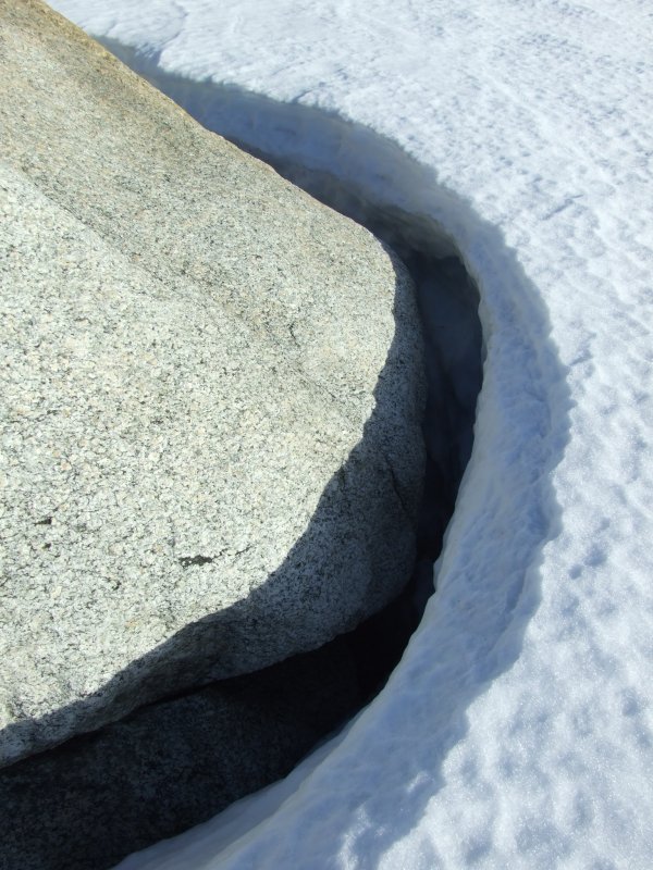 Tight corners.
 Bubbles in ice.
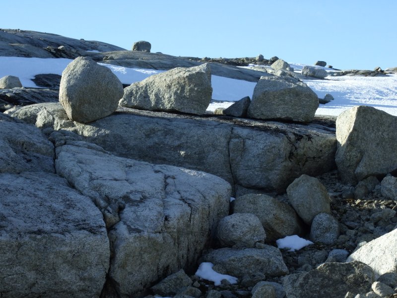 Erratics (yeah, that's the name for these boulders left behind by glaciers).
 Back a little way, we set up camp below the ridge (one of the few patches of ground with some earth), with this view from our tent.
 An erratic evening.
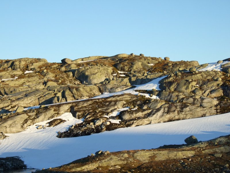 Evening light.
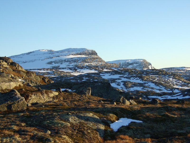 Ramnabergnuten and Luranuten in the glow of the dying sun.
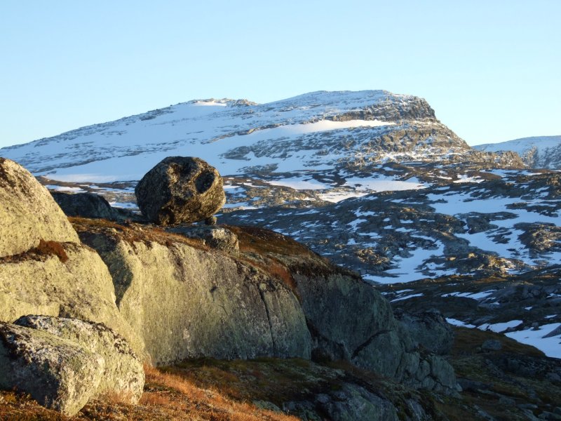 Ramnabergnuten.
 Luranuten.
 Erratics with Brakanuten (1312 metres) in the background.
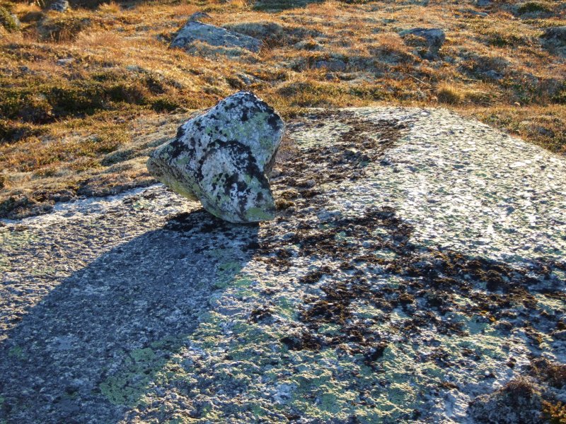 Erratic in shadow.
 Our lightweight tent pitched for the night. Sunset was at about 19:00.
 At 21:00, we were woken by the wind, which had begun to blow hard enough that the tent door had been pulled open, and the tent was being violently shaken about. Worried that the pole or guy lines would snap, I checked the pegs (hint; put something warm on before you try this). The -10°C temperature (-23°C with wind chill) had frozen the ground around them, keeping them in place. But the tent looked like it was under a lot of strain, and did not feel safe at all. After discussing whether abandoning it, and walking back in the moonlight with torches was a sensible idea, we packed up everything we could, and prepared to leave if the tent collapsed. A very bad night's sleep followed, with the wind removing all the heat from the tent, and even with all of our warm clothing on, sleeping was only possible for a few hours at a time, with another peg check by Claudio at midnight, when the wind died down a little.
 In the morning, the tent was covered in a layer of frost, and the sky was threatening rain. Even the wind resistant Trangia was having trouble staying alight long enough to heat up breakfast. Well, as the damer says, there's no point in living if you can't feel the life. We packed the tent, and began to walk up towards the glacier, prepared to turn back at any point if the weather became too dangerous, but hoping that we could still make it to stand on the edge of the glacier itself.
 The wind was still strong after its show last night, reaching about 45 mph (20 m/s, 70 kph), and with the temperature still sitting at -5°C, the wind chill brought it down to -16°C. Not extreme, but cold enough to wear a few layers of clothing, and protect our faces.
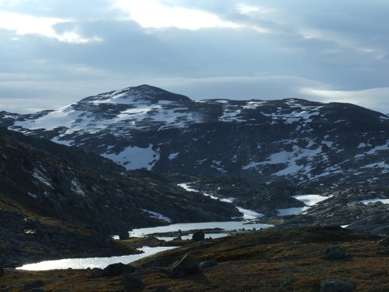 Dyrhaugane and the collection of lakes that makes up vestre Memorgevatnet.
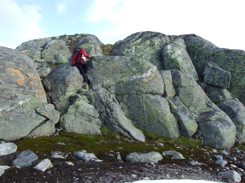 The route climbs and drops, with occasional points where the only way forward is sideways to a safe point, then downwards.
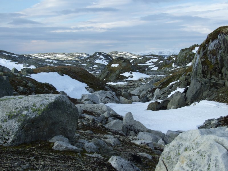 Drumlins.
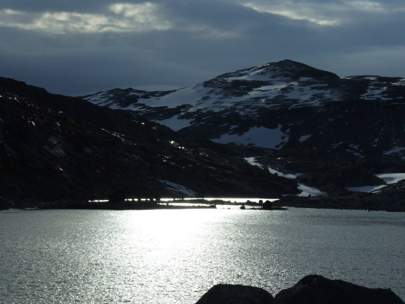 Light breaking through the storm clouds on vestre Memorgevatnet.
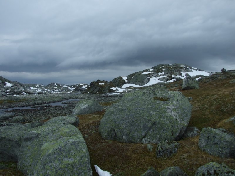 The outflow from vestre Memorgevatnet has enough water that wading would be unpleasant, but fortunately there are a couple of points that can be jumped across, though they are at the absolute limit for jumping with a 15 kg backpack.
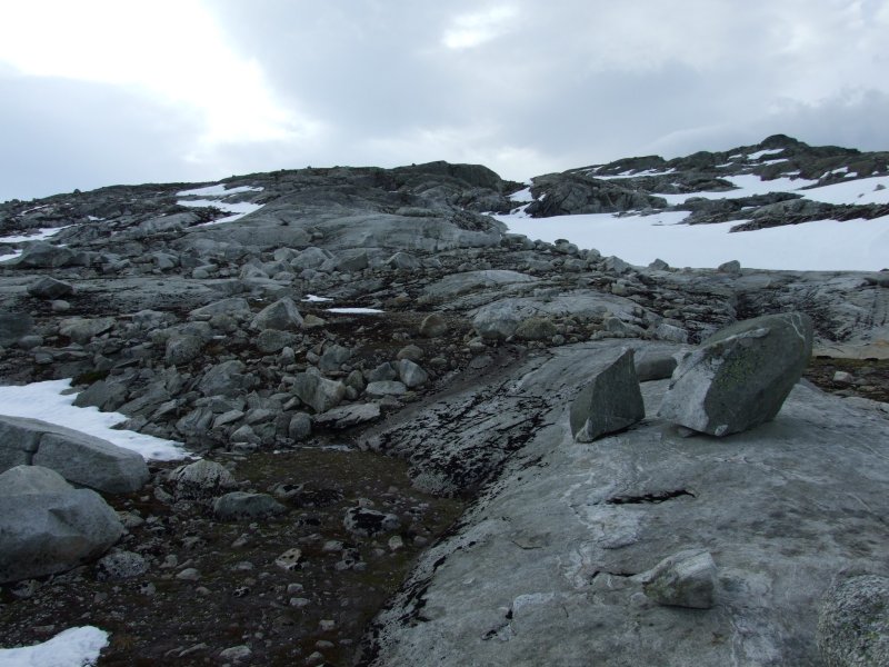 The scoured bedrock leading up towards the glacier.
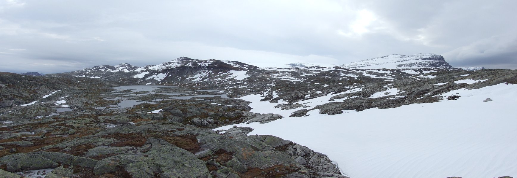 A beautiful view of Dyrhaugane, Hardangerjøkulen and Ramnabergnuten, with the lake collection that makes up austre Memorgevatnet. The lakes could be seen to flow out not only to vestre Memorgevatnet, but also through a valley in the ridge we were walking, to some lakes on the other side. These outflowing rivers were also not shown on the map. We could descend and attempt to cross the latter one, but if we failed, we would probably be forced to return all the way back to the last river crossing, and proceed all the way around the edges of vestre Memorgevatnet, austre Memorgevatnet, and the multitude of smaller lakes and rivers, to get to the far side, about 14 kilometres round trip, on steeply sloping ground that we could not even be sure was safe enough to walk on. With the weather closing in, we decided it would be best to make it to the next small summit, and then turn around.
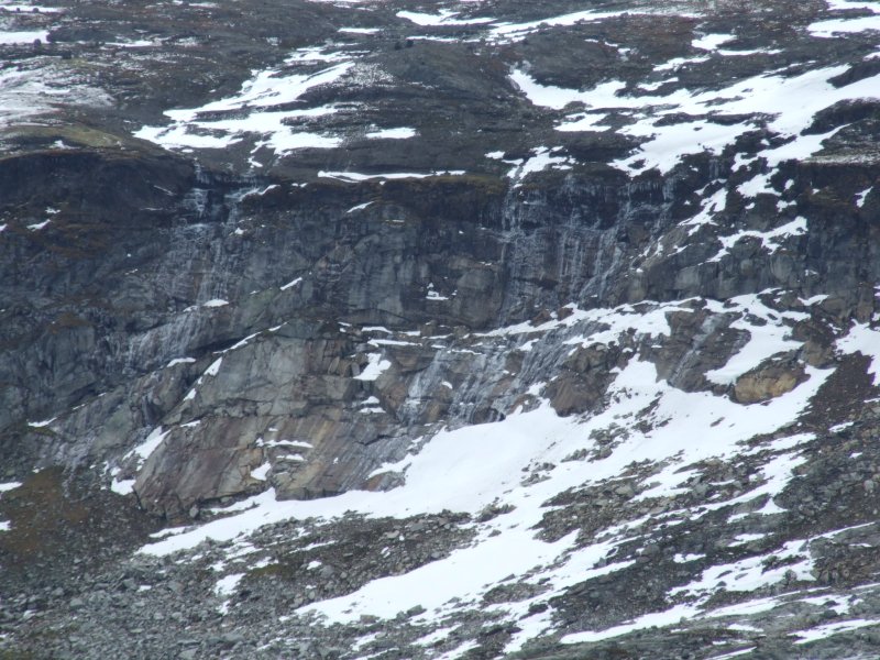 Frozen waterfalls on Dyrhaugane.
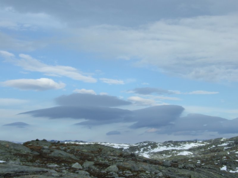 Then it began to spit, and the rain was freezing onto our clothes. The ground could soon become too slippery for us to grip (especially with my street shoes), and in an area with smoothly polished gneiss, it would not have been wise to continue inventing a route up the slopes to the glacier.
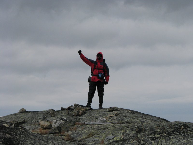 The summit, and my new personal altitude record in Norway; 1353 metres, higher than anything in my own country. It was me, honest. Can't you tell?
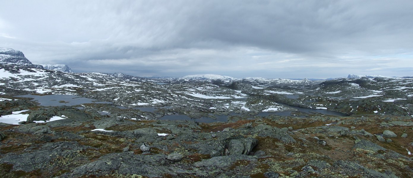 The panorama from the summit: Ramnabergnuten, Luranuten, Onen, Kyrelvfjellet, Austdølnuten (1329 metres), Vassfjøro.
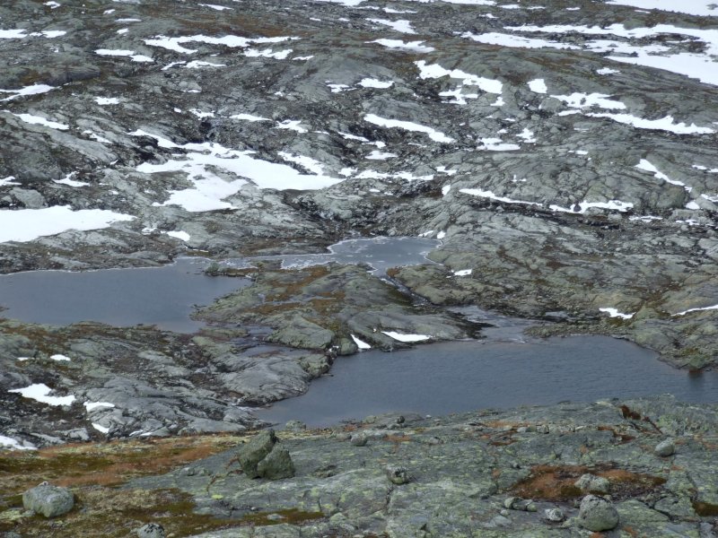 Lake detail. At least the amount of water does not look too high, so the adjoining streams would have been easy enough to cross.
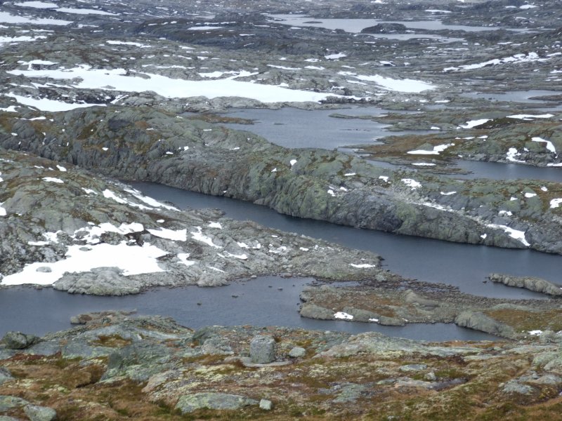 Rift lake and plateau lakes.
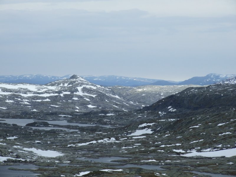 Austdølnuten.
 Looking back towards Storhaugane (1428 metres).
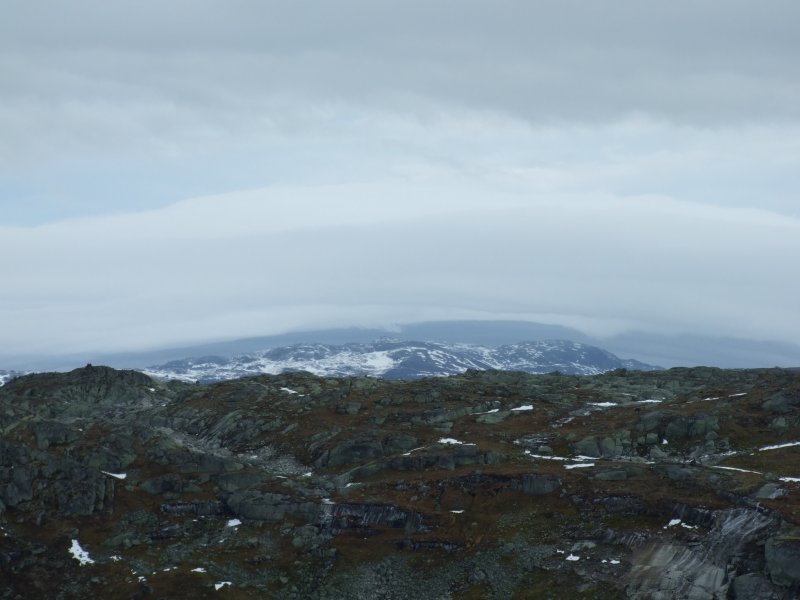 Clouds being bent in the wind over austre Låghellerhøgdene. The weather was quickly getting worse.
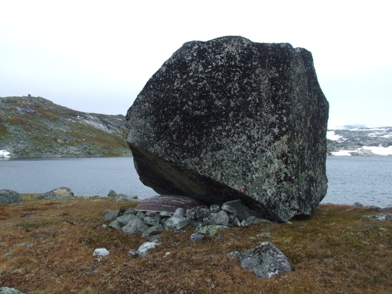 Boat storage beside vestre Memorgevatnet.
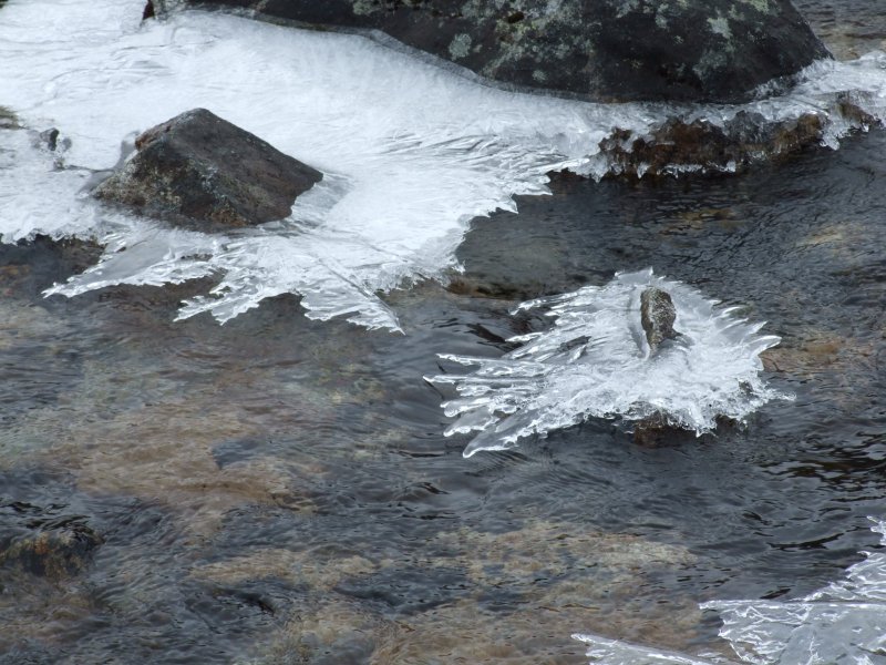 Levitating ice.
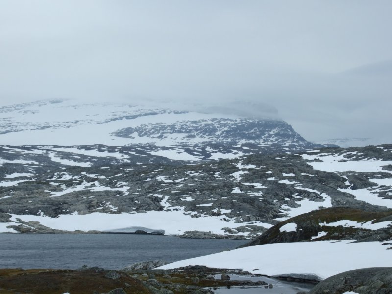 The weather was closing in very fast, and the clouds over Ramnabergnuten were being blown over it at over 80 mph (35 m/s, 130 kph). Then the cloudbase dropped, and the rain worsened. We had definitely made the right decision to turn back, even though it did mean cutting the trip a day short.
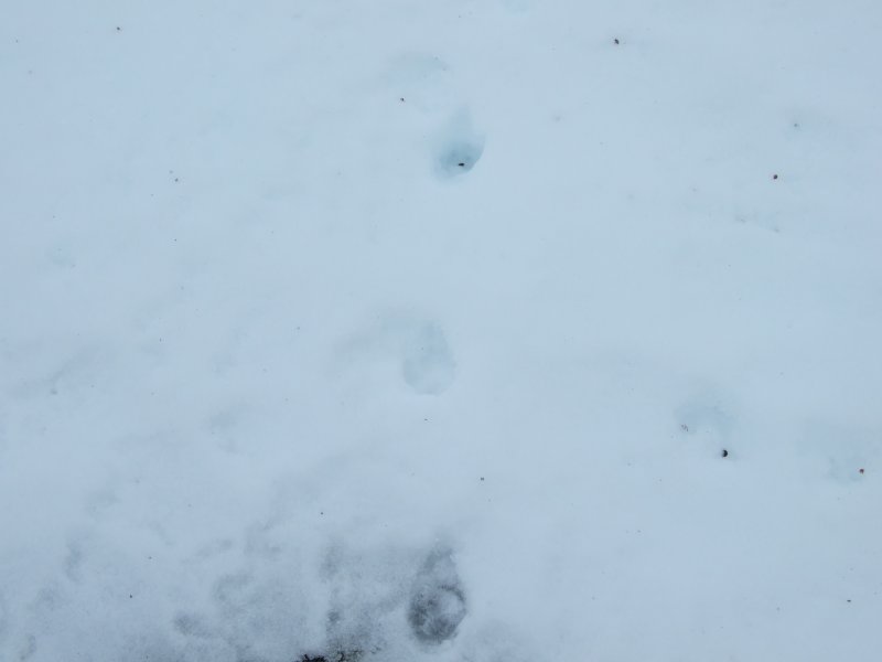 On the way back, we kept seeing these tracks from a fairly large animal, that was evidently following our route in reverse, probably trying to find us. From the size and appearance of the tracks, it was probably a wolverine.
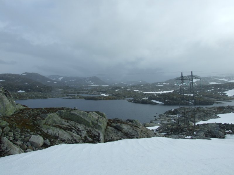 Almost back at the path, we got a view of what awaited us on the way back to Finse. Rain, rain, and more icy cold rain.
 Ice shelf breaking into icebergs in Tagavatn. The weather was pretty miserable after this, so the cameras remained under cover.
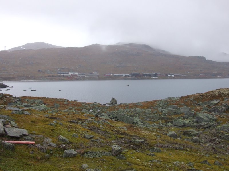 Back at Finse, showing the main part of the village (not including many of the holiday hytter).
 Lille Finsenuten and store Finsenuten (1599 metres), showing the new railway tunnel route.
 A small hydroelectric station, with the borrowed camera showing its annoying habbit of converting low-light pictures into smudgy oil paintings.
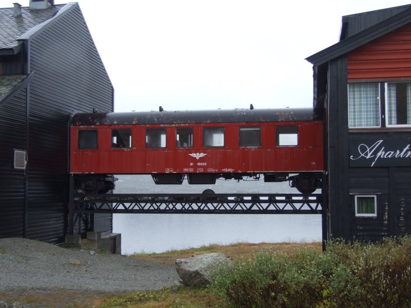 The hotel at Finse, just outside the monument to Scott (of the Antarctic), who trained here.
 The Finse Rallar museum, which has exhibits from the earlier days of the railway.
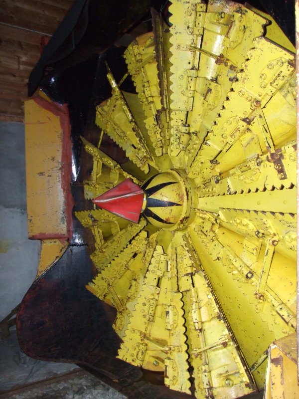 The blades of a snow plough - unlike any other snow plough I have ever seen. This explains how they manage to remove such ridiculous amounts of snow when they block the line.
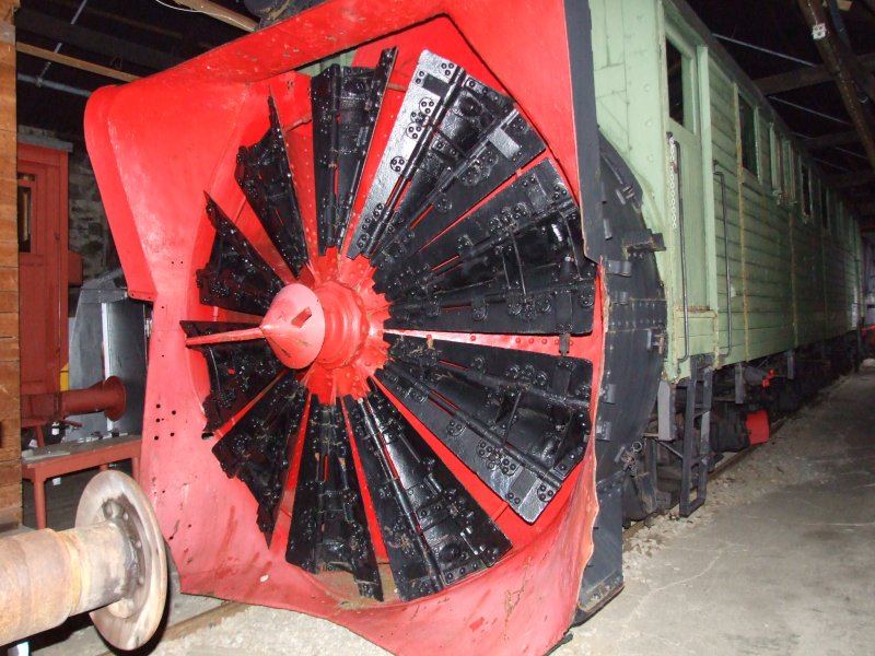 The old steam powered snow plough.
 The enormous boiler did not even have the ability to move the plough on its own; it had to be pushed by a separate engine. This boiler could only be used to rotate the blades, which sliced through the snow, and threw it to the side.
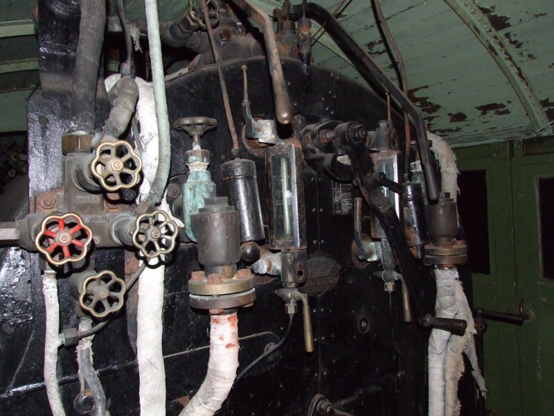 At the controls.
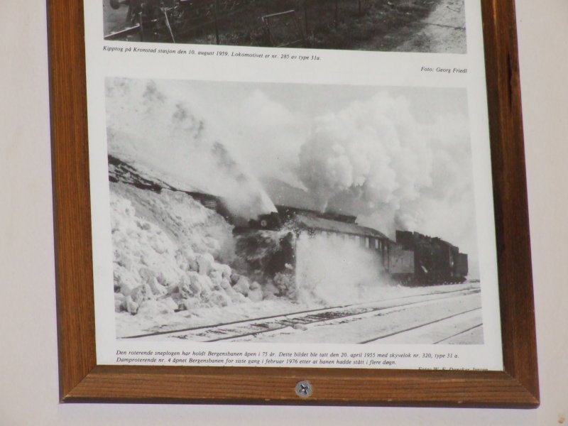 The steam powered plough in operation in 1955.
 I will allow this picture to speak for itself.
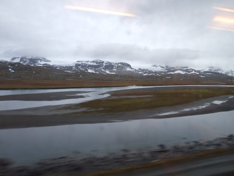 The Hardangerjøkulen glacier seen from the moving train (apologies for the resulting picture quality) over Ustekveikja. From left to right: søre Kongsnuten (1740 metres), the Blåsen galcier outflow, nordre Kongsnuten, the Middalen glacier outflow, and Bukkeskinnshjellane.
 Bergsmulen (1502 metres).
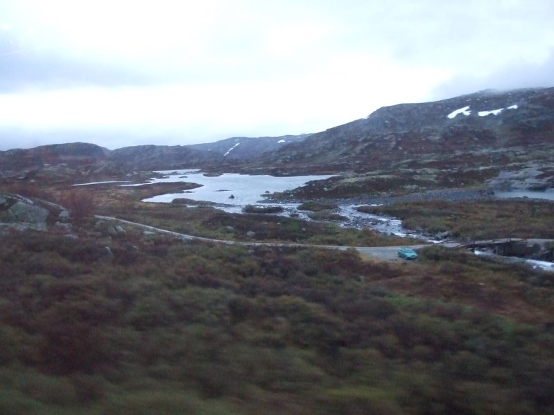 Bergsmulen with the Nysettjørnan lake.
 Bergsmulen over Nysettjørnan.
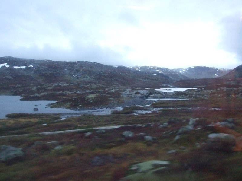 The ridge between Bergsmulen and Hestfossnuten (1544 metres).