Including Cyfyng Falls.
From Cardiff, take the A470 to Betws-y-Coed. From Betws-y-Coed, take the A5 towards Bangor. After passing the Capel Curig village sign, park in the second lay-by on the left. SH 7353 5710.
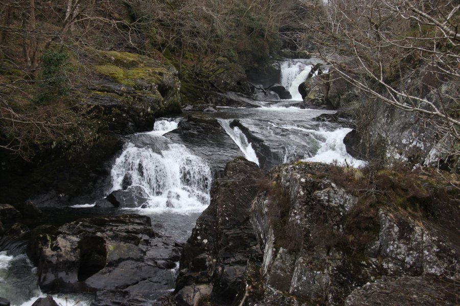
The Cyfyng Falls are immediately below the road, and can be seen from the lay-by. Walk up the road, and take the lane to the left, crossing Pont Cyfyng. Turn right into a lane, then take a footpath that branches off to the right just after a gate. When roughly level with a house on the left, it swings right to cross a stream using a footbridge. Walk in roughly the same direction as the footbridge to the bank of the river. Follow it upstream to reach a natural rock stile and another rocky patch. Just after the rocks, it swings hard left to climb up to a larger footpath. Turn right to reach a footbridge over the river, where there are some rapids upstream. Cross the footbridge to reach the main road. Turn right and walk down the pavement (best on the far side of the road) back to the start of the walk.
| Waterfall | Grid reference | GPS coordinates | Image |
|---|---|---|---|
| Cyfyng Falls/Rhaeadr Llugwy/Llugwy Falls | SH 73451 57146 | 53.096468°N, 3.891392°W | |
Whilst every care has been taken in the compilation of this description, neither the author nor his fellow walkers can accept responsibility for loss or injury arising from any errors, omissions or inaccuracies in this description. This description is intended as a guide only, and you should select a route to suit your own abilities, at your own discretion. Ability requirements are a guide only. Route maps are approximated. You follow this description at your own risk.