Including Ffrwd Wen (and details of Pwll Ffrwd).
From Cardiff, take the A470 to Brecon.
For Cwm Graig-ddu parking, take the A470 to Builth Wells. From Builth Wells, take the A483 towards Llandovery, to the village of Garth. At Garth, turn left onto the B4519 towards Upper Chapel. The road climbs up onto Mynydd Epynt. Just as the road reaches its highest point, park at the viewpoint on the left. SN 9629 4673.
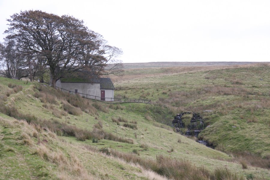
To view the waterfall from a car, head into Brecon on the B4601. Cross the river, then after passing the side of Brecon Castle, take the first left at some traffic lights. Take the next left onto the B4520 and follow it onto the Mynydd Epynt hills. Just after the village of Upper Chapel, turn left onto the B4519, signposted to Garth. Continue through the military training area, until the road drops to a solitary grey cottage on the left side of the road. SN 9771 4585.
From Cwm Graig-ddu, enjoy the view, then continue on foot along the B4519 (towards Upper Chapel). This area is controlled by the military, and the road is the only public right of way here, so stay on the road. The road slowly descends into the next valley and crosses a stream (there are some poor cascades just downstream, but these cannot be seen from the road), before arriving at a solitary grey cottage on the right side of the road.
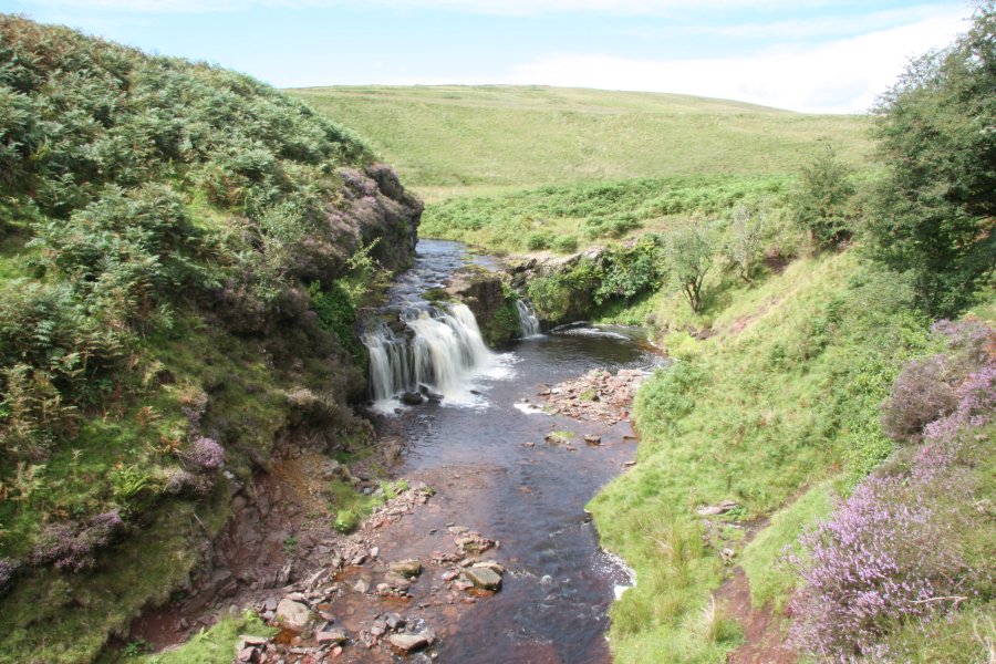
The Ffrwd Wen waterfall lies just on the other side of the cottage, and can be seen from the road. It needs significant amounts of rainfall to become interesting. Return the same way.
There are no public rights of way in this area of the range, and the ones shown on the map have in fact been revoked. Do not leave the road. However, it is possible to continue on the B4519 to the Epynt visitor centre at Pentre Dolau Honddu in the next valley, then take the Epynt Way to the left, all the way around to the start of the walk, creating a 19 km loop. For more details of this option, see the Epynt Way website, which also includes information on firing times, or the Discovering Britain website's walk which follows the same loop (starting at the visitor centre).
The only other named waterfall in Mynydd Epynt is Pwll Ffrwd, in the Ysgir Fawr valley. This waterfall is strictly off limits, and there is absolutely no access, even with special permission. It is the only waterfall in my listings for which there will not be any access granted for any purpose. Its location is in the middle of the heavy artillery range, which is in regular usage, and the area may contain unexploded munitions at all times. For further details, see my SENTA gallery, but I repeat; you must not attempt to visit this waterfall.
| Waterfall | Grid reference | GPS coordinates | Image |
|---|---|---|---|
| Ffrwd Wen | SN 97696 45814 | 52.101170°N, 3.494995°W | |
| Pwll Ffrwd | SN 97642 41593 | 52.063224°N, 3.494515°W | |
Whilst every care has been taken in the compilation of this description, neither the author nor his fellow walkers can accept responsibility for loss or injury arising from any errors, omissions or inaccuracies in this description. This description is intended as a guide only, and you should select a route to suit your own abilities, at your own discretion. Ability requirements are a guide only. Route maps are approximated. You follow this description at your own risk.