Including Nant y Cafn Falls and Llaethnant.
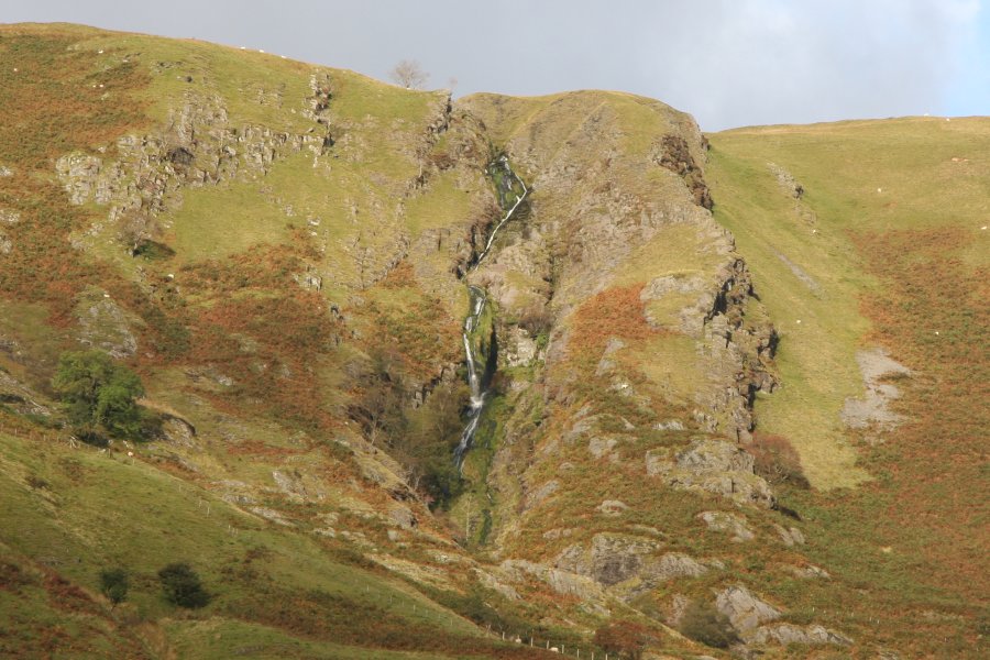
From Cardiff, take the A470 to Dinas Mawddwy. From Dinas Mawddwy, turn right onto a road signposted to Dinas Mawddwy (even though you are already in it) and the Red Lion pub, on a left bend. Turn right at the crossroads by the Y Llew Goch (Red Lion) pub. About a mile after passing through the village of Llanymawddwy, the road crosses a stone bridge over the river, and the hedges on the left are soon replaced with fences. The Nant y Cafn Falls are best seen on the left from the roadside here, where there are some verges that can be used for parking. SH 9056 2054. Continue for half a mile until the next hairpin bend, where there is enough space to park in front of a gate (try not to obstruct it). SH 9050 2129.
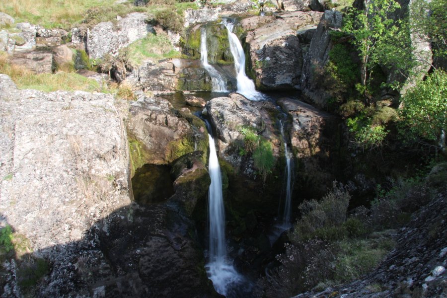
Head along the track through the gate. When it temporarily dips into fields, use a path to the right, running beside the fence along the top of the fields, to regain the track. After crossing a stream (there's a quite poor little waterfall on the right), the track begins to climb, but the path instead continues along the fence to the left, to reach the main Llaethnant stream (which later becomes the Dovey/Dyfi river). Take great care at the edge of the stream, as it runs in a gorge, with an obscured waterfall at its head. Follow the edge of the gorge up a series of rock outcrops to the right, still taking great care, and passing many, many waterfalls in the stream. The gorge disappears and the waterfalls continue to a grassy area, where the stream swings to the right, to the track.
At this point, it's best to join the track, as the waterfalls upstream are in a very narrow ravine with no path. Above the ravine, the waterfalls end, and the beautiful hanging valley can optionally be followed up to Aran Fawddwy's crags. The waterfall route ends at the top of the ravine, however, so after getting your view of the hanging valley, follow the track back down to the start of the walk.
| Waterfall | Grid reference | GPS coordinates | Image |
|---|---|---|---|
| Llaethnant | SH 89715 21510 | 52.779870°N, 3.636485°W | |
| Nant y Cafn Falls | SH 89629 20661 | 52.772223°N, 3.637473°W | |
Whilst every care has been taken in the compilation of this description, neither the author nor his fellow walkers can accept responsibility for loss or injury arising from any errors, omissions or inaccuracies in this description. This description is intended as a guide only, and you should select a route to suit your own abilities, at your own discretion. Ability requirements are a guide only. Route maps are approximated. You follow this description at your own risk.