Including Rhaeadr Cwm Dyli.
From Cardiff, take the A470 to Betws-y-Coed. From Betws-y-Coed, take the A5 towards Bangor. Follow the road to the far end of the lengthy village of Capel Curig, then turn left onto the A4068, signposted to Caernarfon. After passing the lakes, reach the Pen y Gwryd Hotel. There is plenty of parking space by the roads here for the walk, but it is one of the very popular places for starting walks up Snowdon, so it fills up very quickly when the weather is good. Or bad. It doesn't matter. SH 6602 5580. For viewing from the viewpoint, continue along the road (which now gets renamed to the A498) for one mile from the hotel, to reach the very obvious Snowdon viewpoint and parking area on the right, which has two entrances. The Rhaeadr Cwm Dyli waterfall can be seen across the valley, though you may be distracted by Snowdon above it. SH 6580 5415.
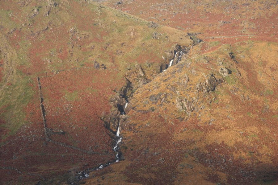
Walk down the road from the hotel, passing another major road on the right. 250 metres after the junction, take a track on the right (not the path that starts beside it - that heads elsewhere). Follow it for 1.5 km, looking over to the right to see Rhaeadr Cwm Dyli and Snowdon on the far side of the valley, to a junction. Take the good quality track on the right, and follow it down to the little power station at the bottom of the valley. Immediately before the power station, cross a footbridge on the right, over the river. The path on the other side splits. Take the path to the left over another bridge, then over another bridge over the pipeline.
Follow the path downstream, keeping quite close to the river, until it reaches another footbridge over the river after just under 1.5 km. Cross the footbridge into a campsite, and follow the tracks through the campsite, passing the Llyn Gwynant lake, to cross a cattle grid and reach a lane. Turn left and follow the lane all the way back up the valley to the track junction from earlier, and continue ahead to return to the start of the walk.
| Waterfall | Grid reference | GPS coordinates | Image |
|---|---|---|---|
| Rhaeadr Cwm Dyli | SH 64973 54345 | 53.069226°N, 4.016746°W | |
Whilst every care has been taken in the compilation of this description, neither the author nor his fellow walkers can accept responsibility for loss or injury arising from any errors, omissions or inaccuracies in this description. This description is intended as a guide only, and you should select a route to suit your own abilities, at your own discretion. Ability requirements are a guide only. Route maps are approximated. You follow this description at your own risk.