Including Penrhyn-gwyn.
From Cardiff, take the A470 to Dolgellau. From Dolgellau, head into the town centre, where there is a one-way system. Follow signs for Tywyn to leave the one-way system, then turn left after 300 yards onto a lane, signposted to Cadair Idris (or Cader Idris, depending on what spelling they have decided to use today). Follow it for 2.5 miles, passing the Llyn Gwernan lake, to reach the Ty-nant parking area for Cadair Idris on the right. A fee is charged for parking. SH 6982 1527.
Walk out of the parking area onto the road. Turn right, and continue past the Ty-nant cottage, then turn left onto the track just before the next stream. When the normal footpath swings away from the stream to the right, stay by the stream until the less-used path passes through a gate into open access land. Turn left. The path soon reaches the base of a tramway incline, beside a derelict building. Follow the incline up to the remains of the main quarry buildings.
There are two levels of buildings over to the left, with a quarry above the upper level. The lower level has a path at its far end that continues as a deteriorating tramway above the stream, which can be used with great care as an access route. The tramway reaches the stream at a junction. The first couple of waterfalls lie downstream, with further waterfalls on both upstream branches. To get downstream, ford the stream, and follow a path down on the far bank.
The first upstream waterfalls can be seen by walking up their respective branches. To see the larger waterfalls above these, walk up the buttress between the streams. There is one upper waterfall on the left branch, and two on the right branch. The top waterfall on the right branch can also be seen from the lip of the quarry.
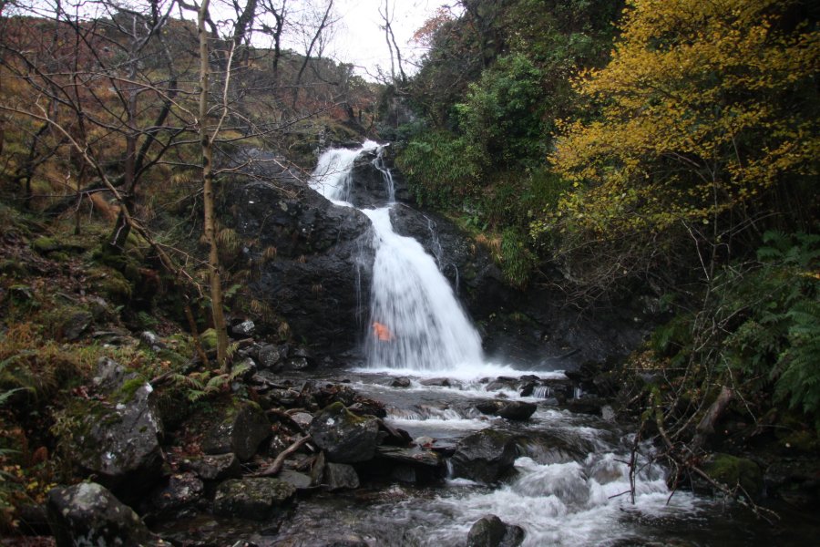
| Waterfall | Grid reference | GPS coordinates | Image |
|---|---|---|---|
| Penrhyn-gwyn | SH 70408 14952 | 52.716657°N, 3.919969°W | |
Whilst every care has been taken in the compilation of this description, neither the author nor his fellow walkers can accept responsibility for loss or injury arising from any errors, omissions or inaccuracies in this description. This description is intended as a guide only, and you should select a route to suit your own abilities, at your own discretion. Ability requirements are a guide only. Route maps are approximated. You follow this description at your own risk.