Including Ffrwd yr Ydfran, Nant y Cae Falls, Nant Cwm-du Falls and Nant y Gwaith Falls.
From Cardiff, take the A470 to Rhayader. From Rhayader, turn left onto the B4518 at the wonky junction with the clock tower in the town centre, towards the Elan Valley. At the edge of Rhayader, turn right onto a lane, signposted to Aberystwyth. Follow it up over the hills, through the upper Elan Valley, and down into the Ystwyth valley. After crossing the first cattle grid since the climb into the hills, parking is on the left in a small lay-by with two gates (don't block them). There are also some other lay-bys earlier along the road if needed. SN 8295 7533.
This walk is entirely on-road, as there are no proper paths in the valley (the mountains are all open access wilderness, so paths are not needed), and this does mean that it is possible to drive the entire route - this is often how these waterfalls are seen, while on the way to one of the other waterfall sites further along in the valley. The waterfalls are all fed by small streams, so they are at their best on a day with a high cloud base, after several days of rain.
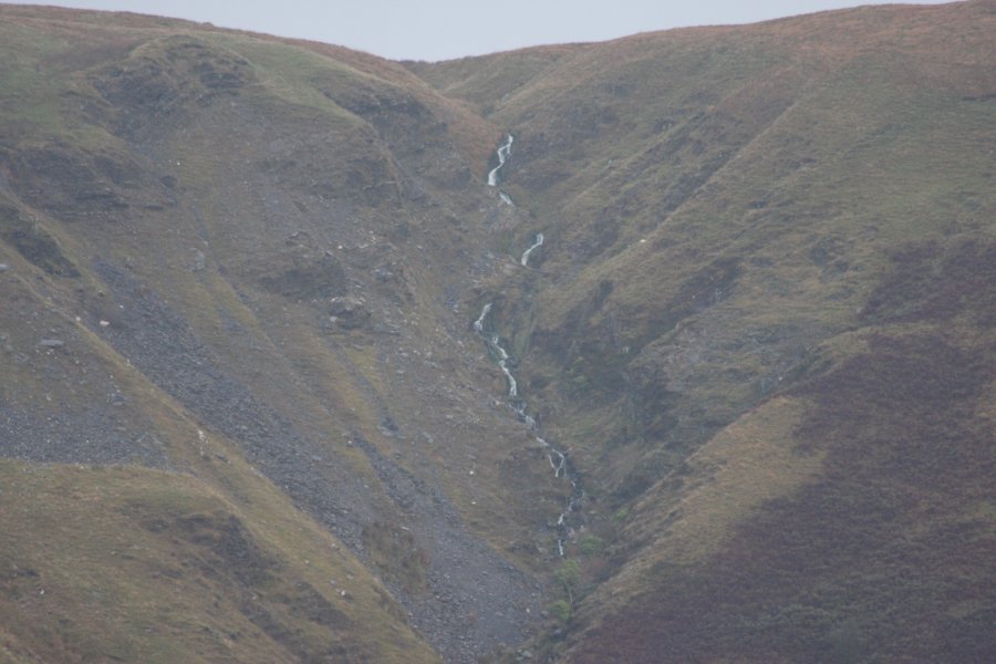
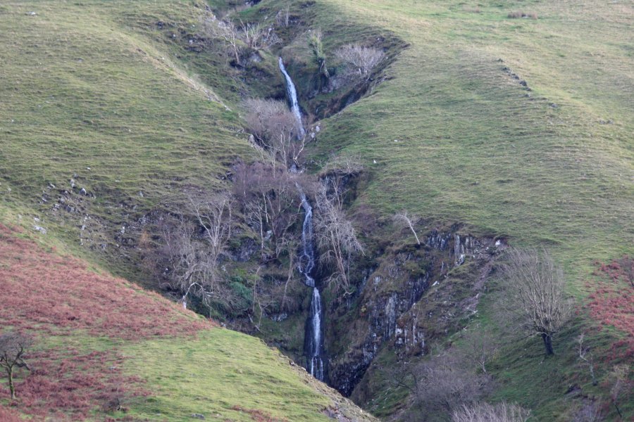
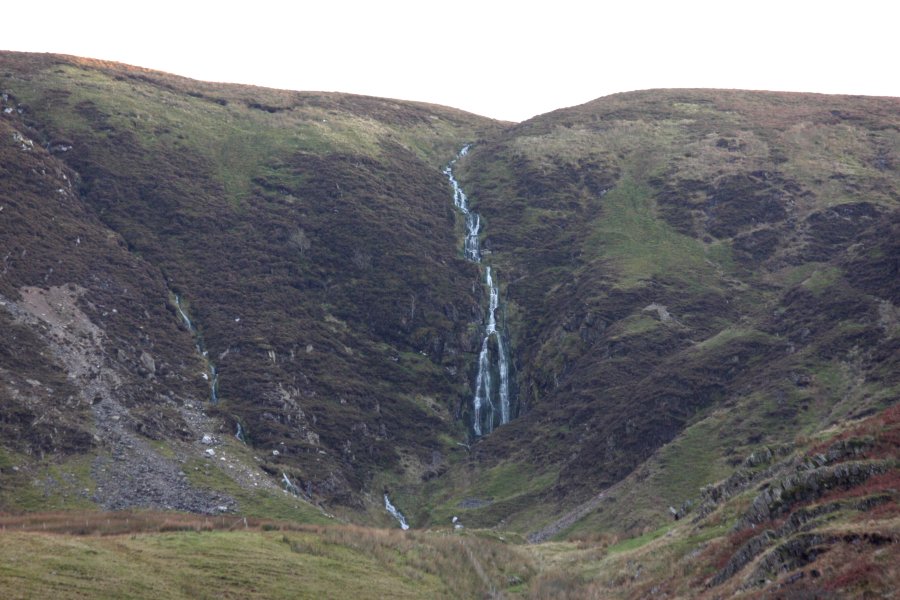
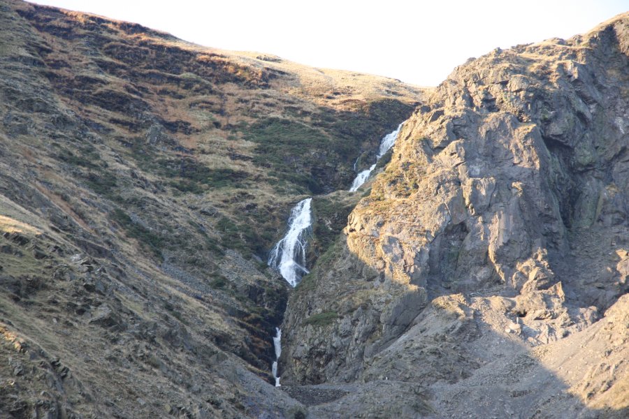
Walk downhill along the road. Ffrwd yr Ydfran can be seen directly ahead at the end of a side valley, as a stream tumbling down the scarp. After passing the first village and the Tŷllwyd camping site, the Nant y Cae Falls can be seen on the left side of the valley. The next side valley on the left contains the Nant Cwm-du Falls, which can be seen falling down the scarp. After a while, the road reaches a collection of crumbling mining buildings and spoil heaps from the Cwmystwyth lead mine. Once you reach the buildings, the Nant y Gwaith Falls can be seen up on the right. Explore the mine buildings with care if desired, then head back along the road to the start of the route.
| Waterfall | Grid reference | GPS coordinates | Image |
|---|---|---|---|
| Ffrwd yr Ydfran | SN 82267 76349 | 52.372494°N, 3.730792°W | |
| Nant y Cae Falls | SN 82165 74800 | 52.358553°N, 3.731745°W | |
| Nant Cwm-du Falls | SN 81050 73756 | 52.348930°N, 3.747739°W | |
| Nant y Gwaith Falls | SN 80368 74971 | 52.359700°N, 3.758180°W | |
Whilst every care has been taken in the compilation of this description, neither the author nor his fellow walkers can accept responsibility for loss or injury arising from any errors, omissions or inaccuracies in this description. This description is intended as a guide only, and you should select a route to suit your own abilities, at your own discretion. Ability requirements are a guide only. Route maps are approximated. You follow this description at your own risk.